Plenty of people visit the Golden Gate Bridge. Lots of them walk around near the parking lots of the San Francisco end and (only somewhat less) the northern Marin County end. And some walk and bike the length of the bridge. Not too many people, however, hike the lengthy paths that begin from the parking lot of the Marin County side. I’m one of them; I’ve biked the bridge dozens if not hundreds of times, but didn’t take a lengthy hike on one of those paths until late August.
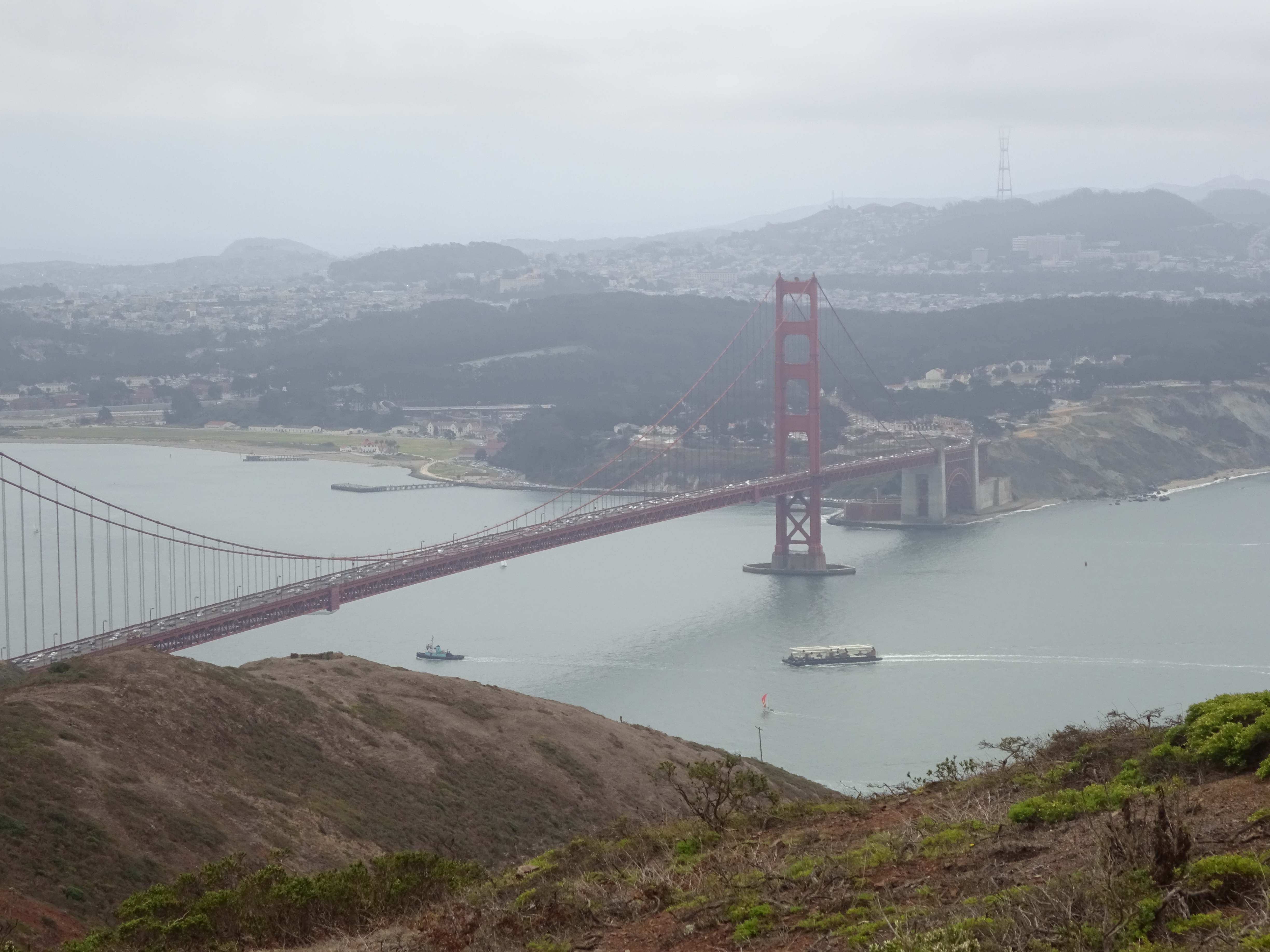
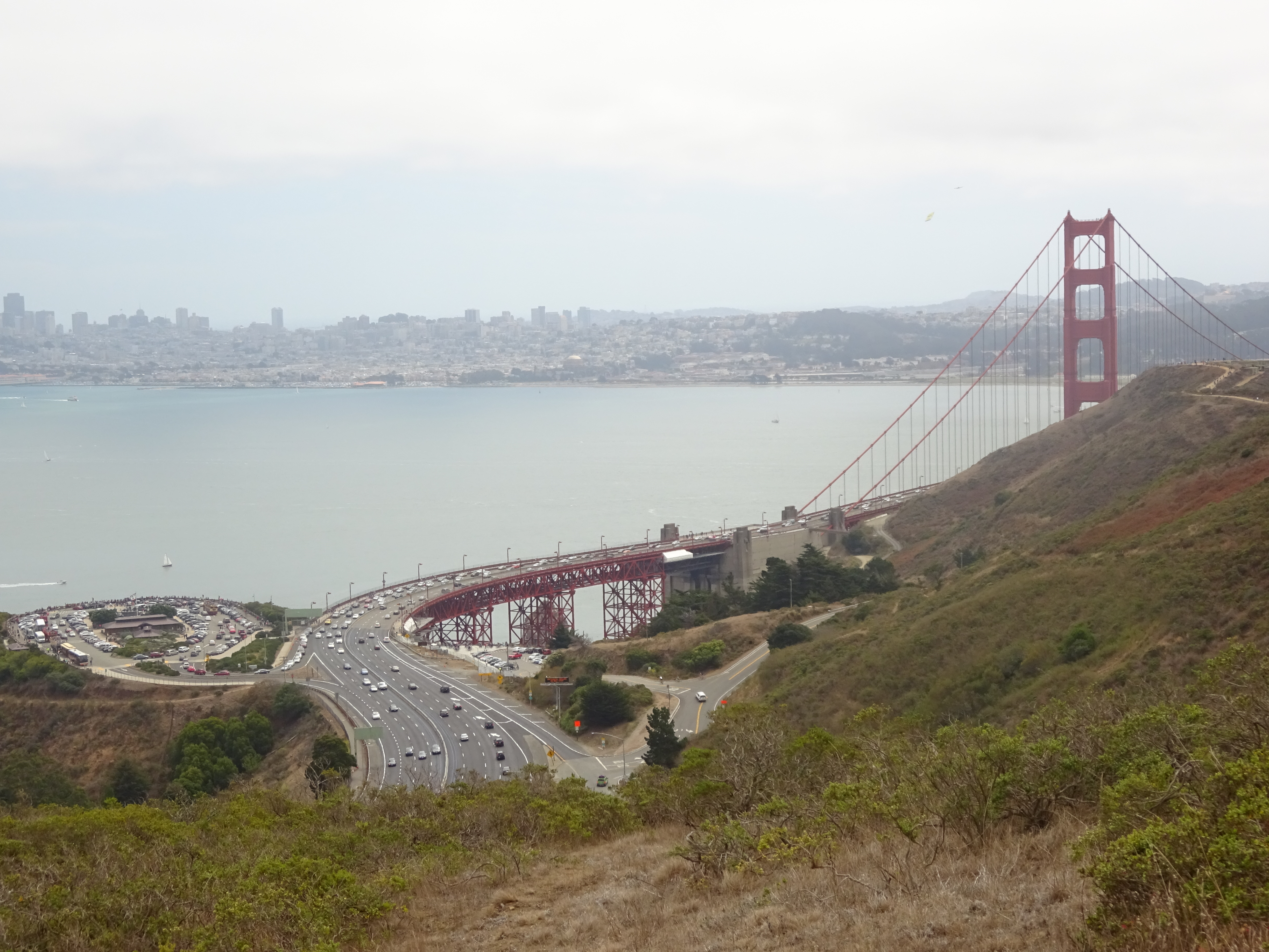
View of the Golden Gate Bridge from Slacker Ridge, on the trail from the bridge to Rodeo Beach.
There are lots of options of paths to take once you head up the trail that starts at the southeastern end of the parking lot. You could keep walking all day, or more than one day, if you’re so inclined. I didn’t want to do the equivalent of a marathon, so I chose a route that went to Rodeo Beach and back. That’s about ten and a half miles roundtrip, over pretty hilly and sometimes rocky trails, though anyone in reasonable shape should be able to complete it without a problem. The starting point at the parking lot’s easy to get to from the north and south; if you want to be greener and get a bit more exercise, you can ride your bike there and lock it up at the rack just a few yards north of the point where cyclists enter and leave the west side of the bridge.
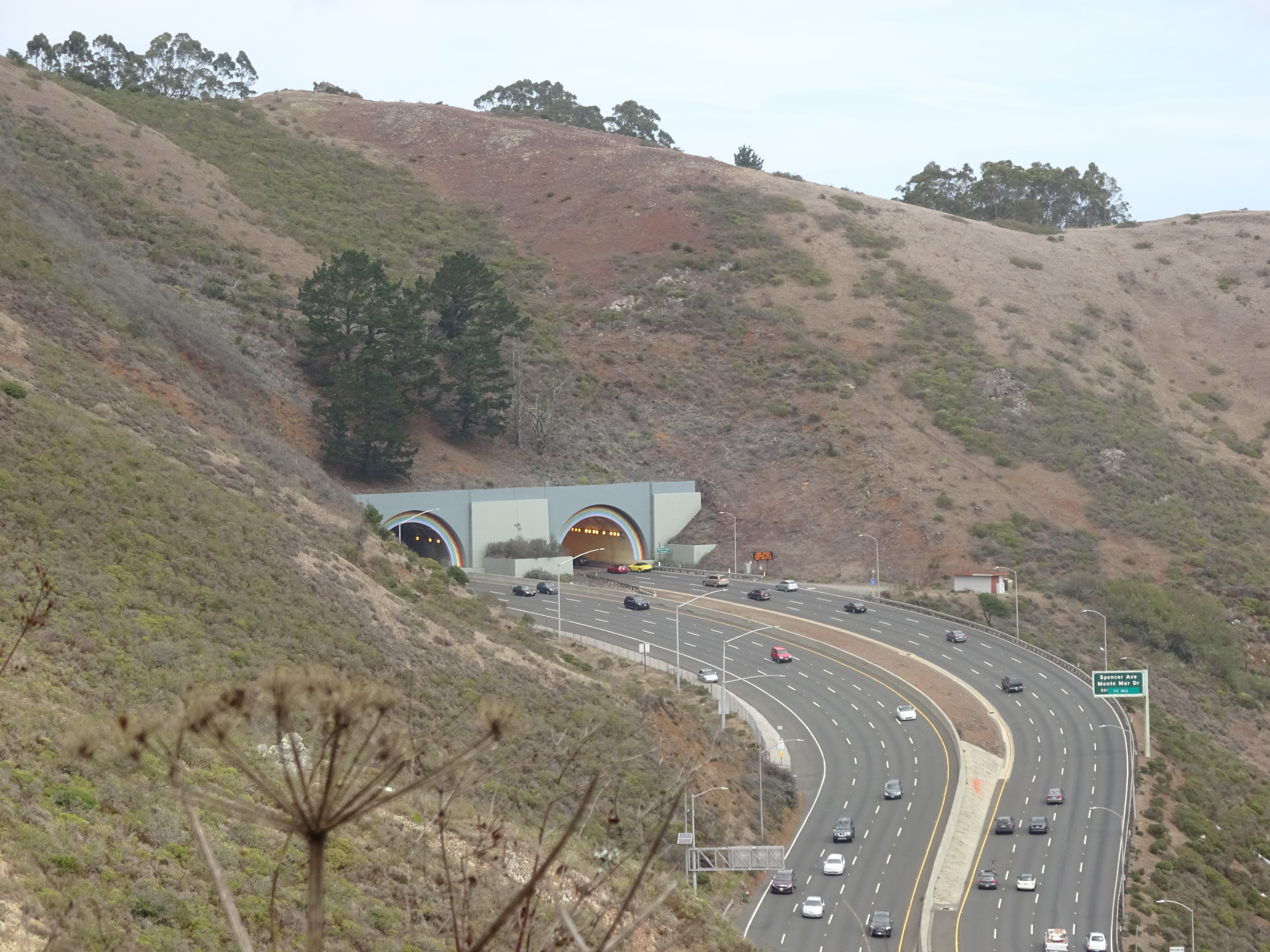
Tunnel just north of the bridge on Highway 101, as viewed from the trail just before you turn inland and the roar of the traffic disappears.
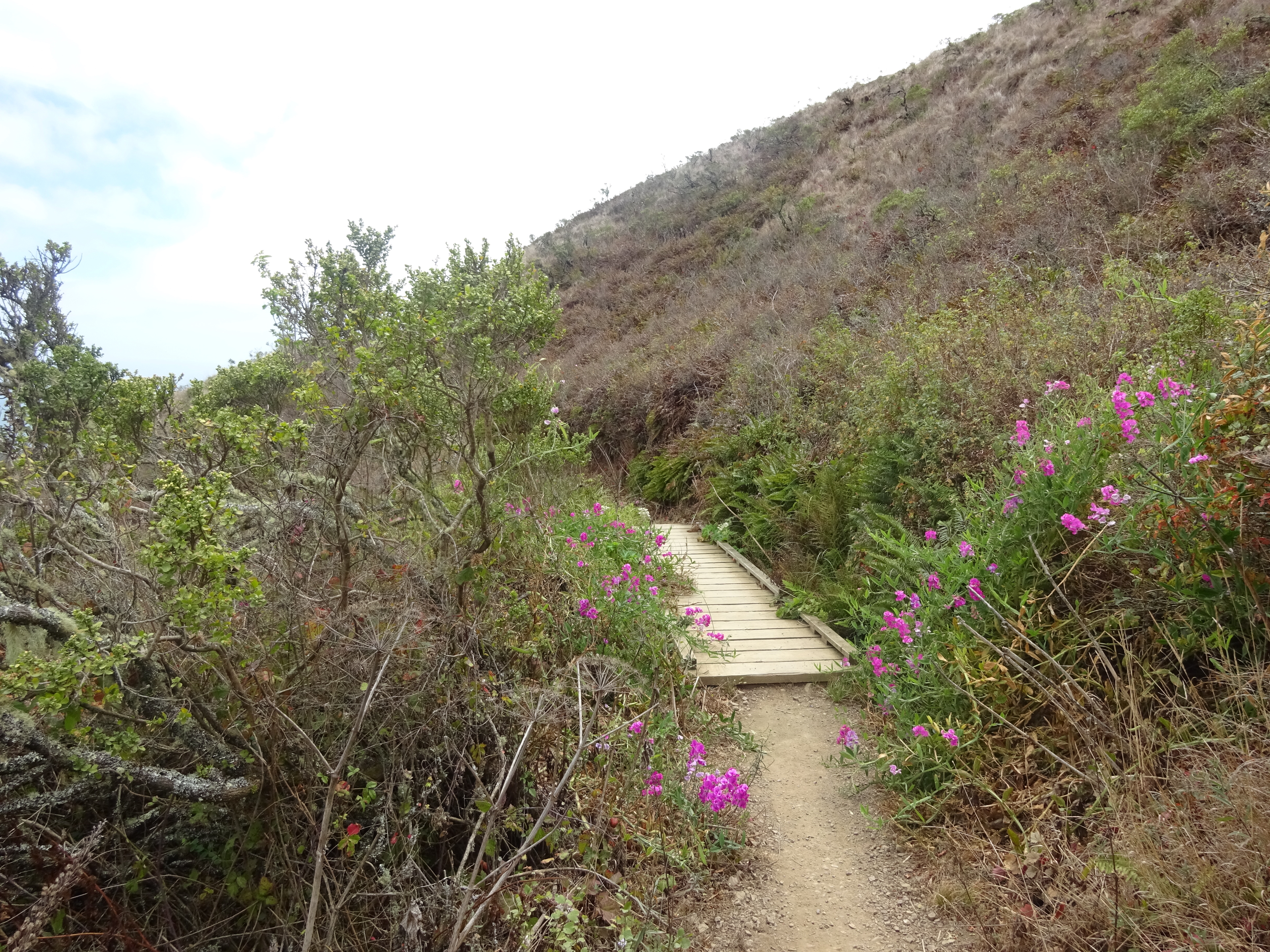
Although much of this route is technically part of the “Coastal Trail,” it might come as a disappointment to some hikers to find that there’s little coast, or San Francisco Bay, to see in any part of this jaunt. There’s plenty of nice rolling semi-mountainous terrain, and as perhaps an even bigger bonus for city residents, near-quiet once you get about a mile in and turn inland, the roar of Highway 101 suddenly disappearing after a few bends.
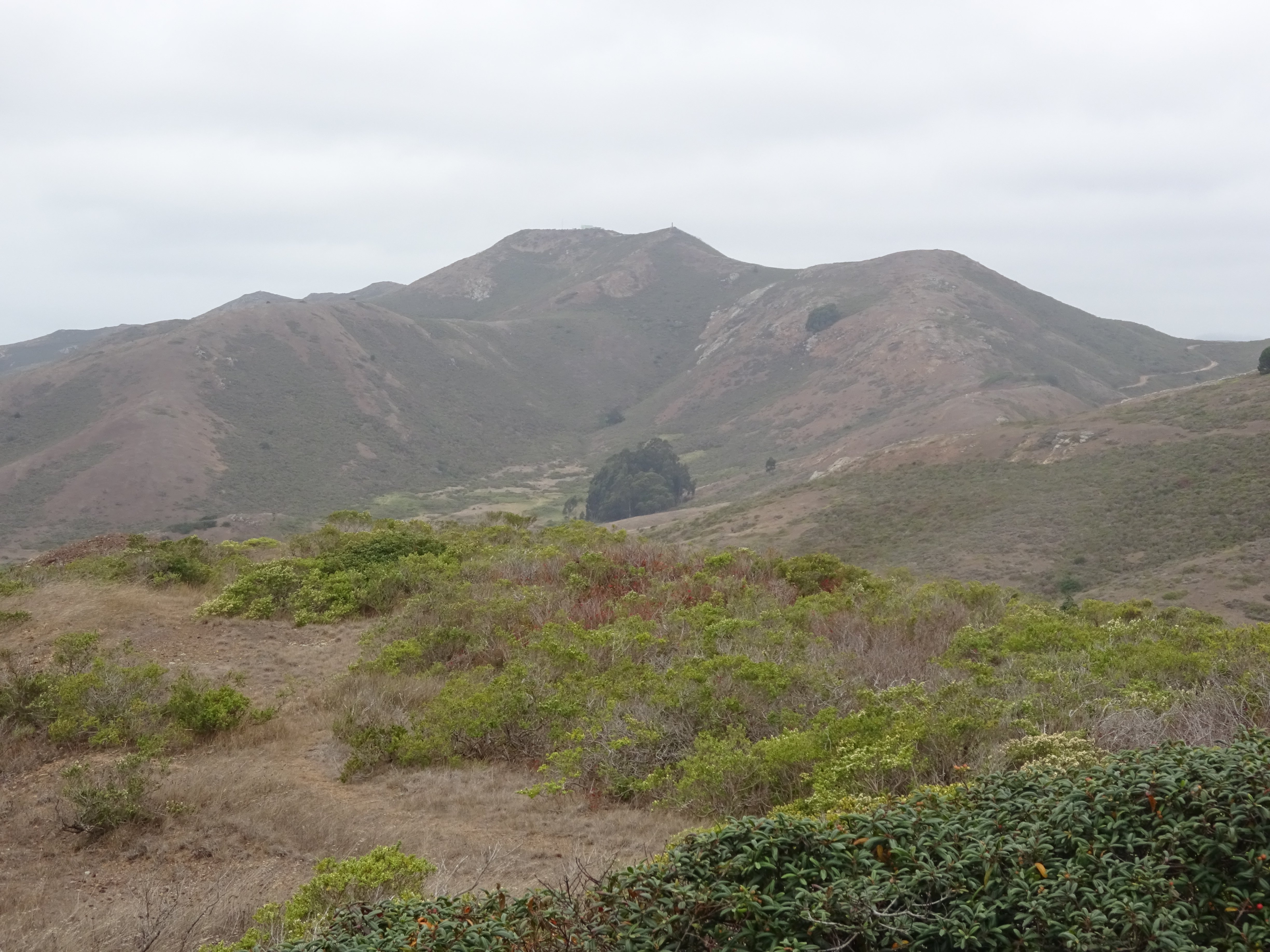
Typically semi-mountainous terrain on the inland part of the trail to Rodeo Beach.
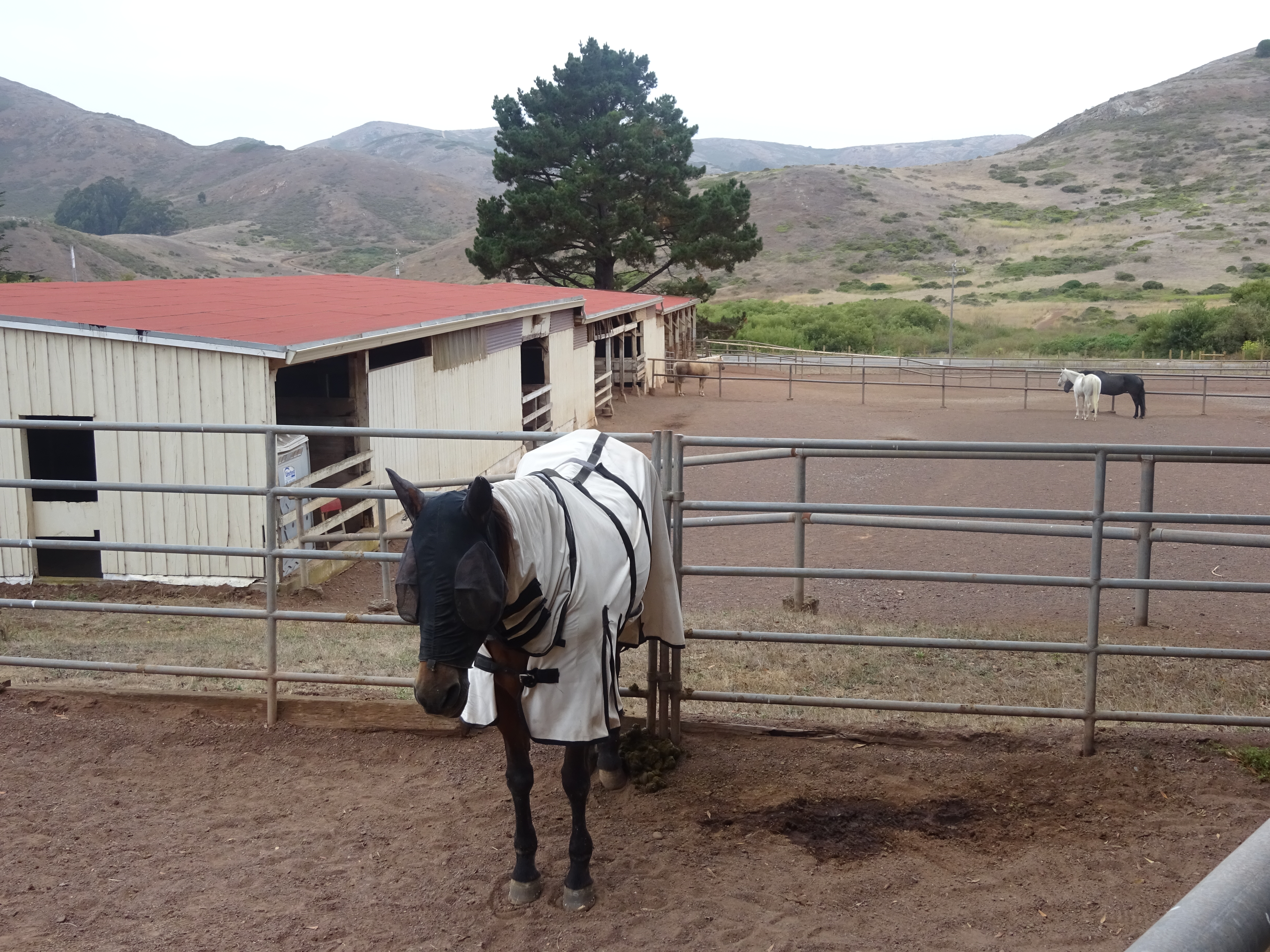
Unhappy-looking horse in stables that you pass on the trail.
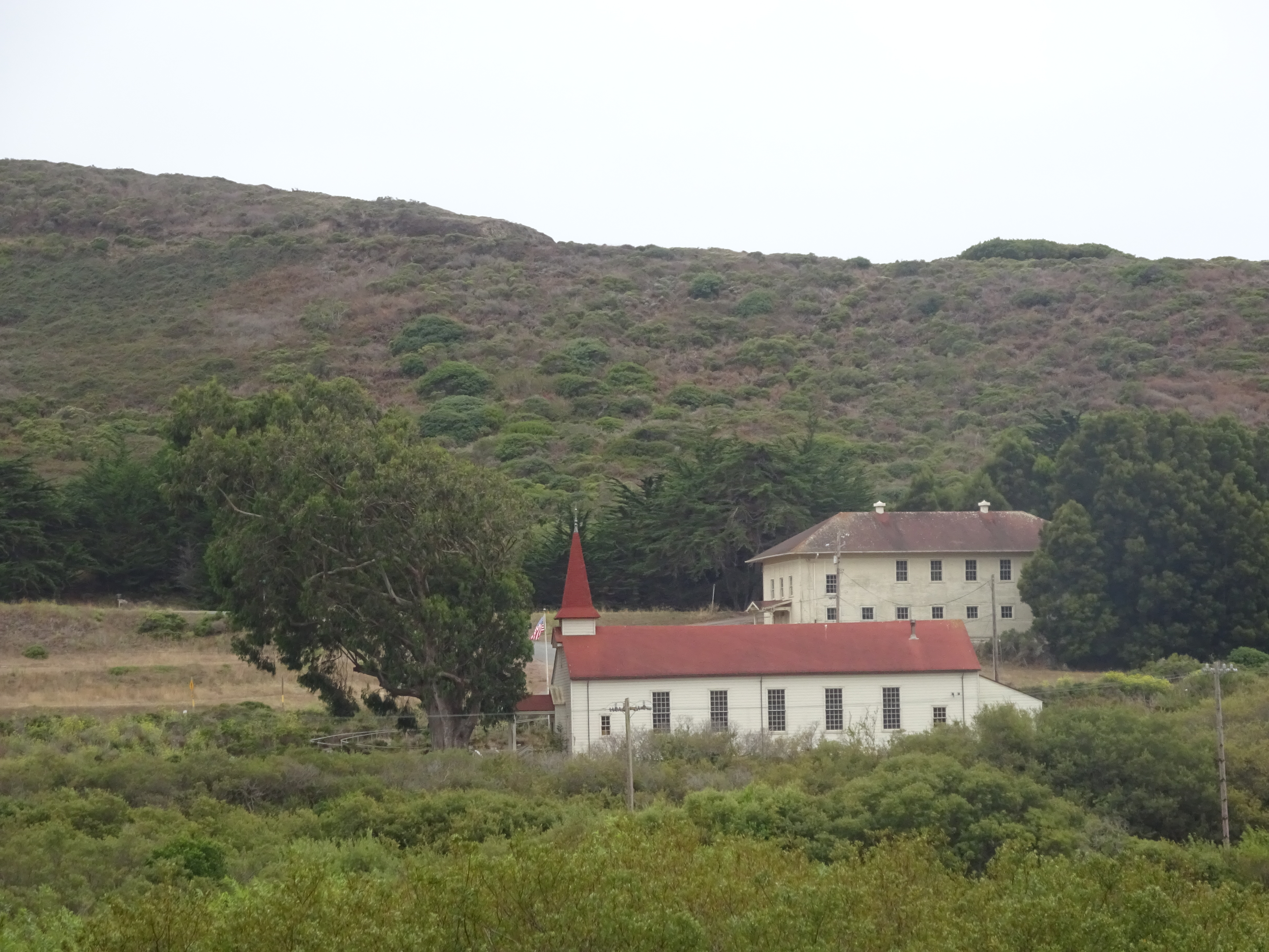
There aren’t many buildings in this part of the Marin Headlands, but a few boast interesting architecture.
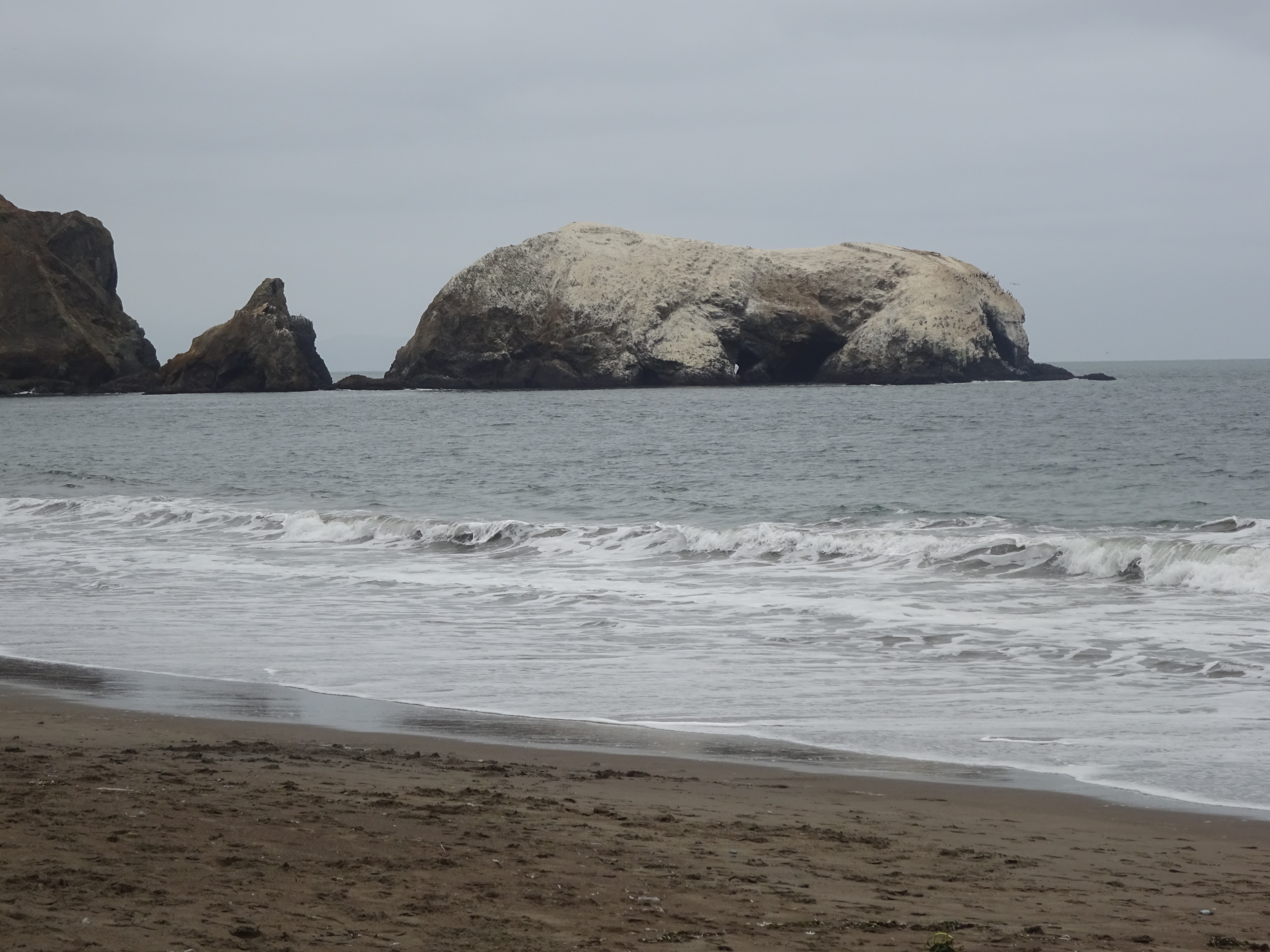
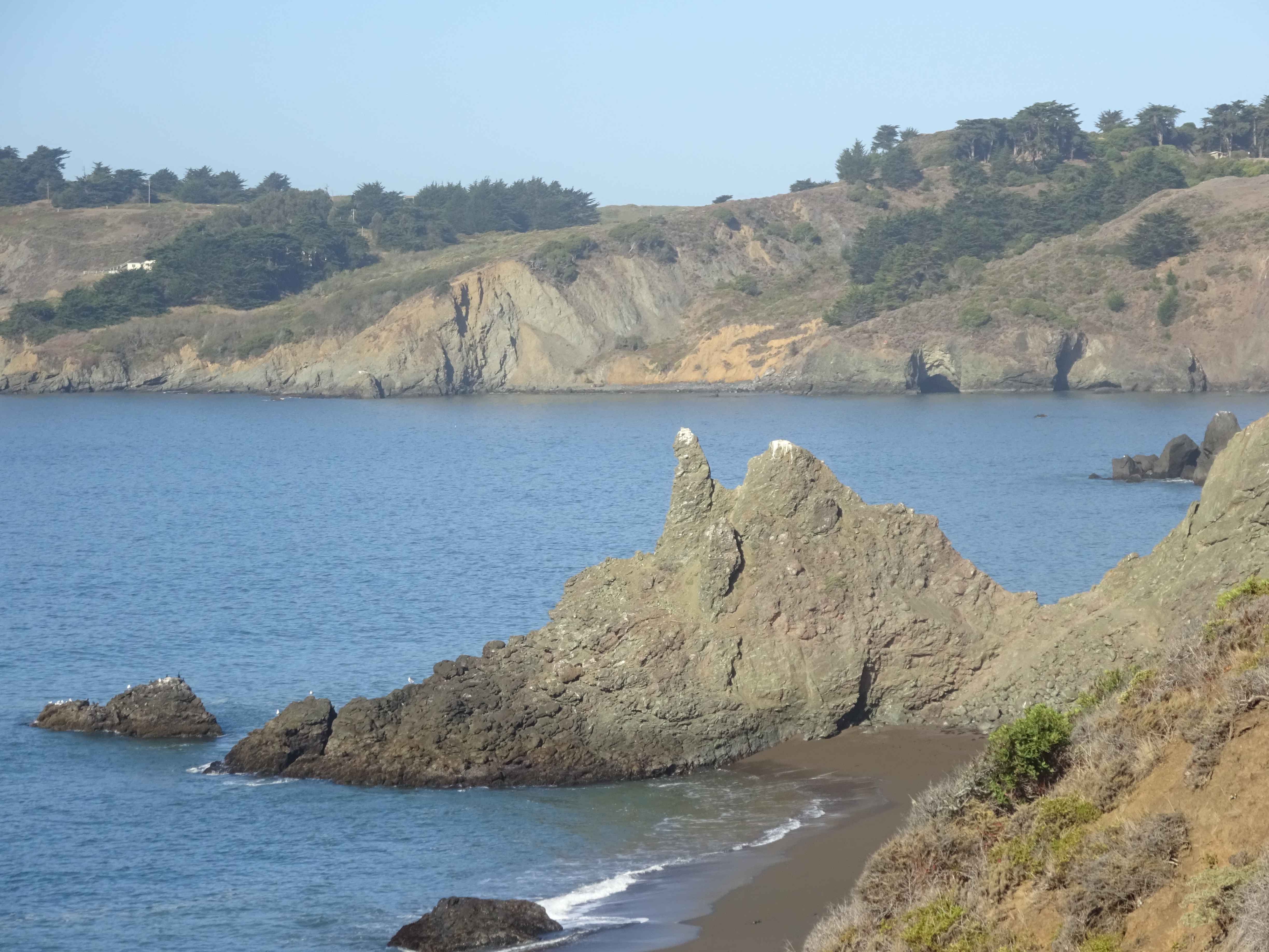
The payoff, after a little more than five miles, is Rodeo Beach, highlighted by these large offshore rocks to the south:
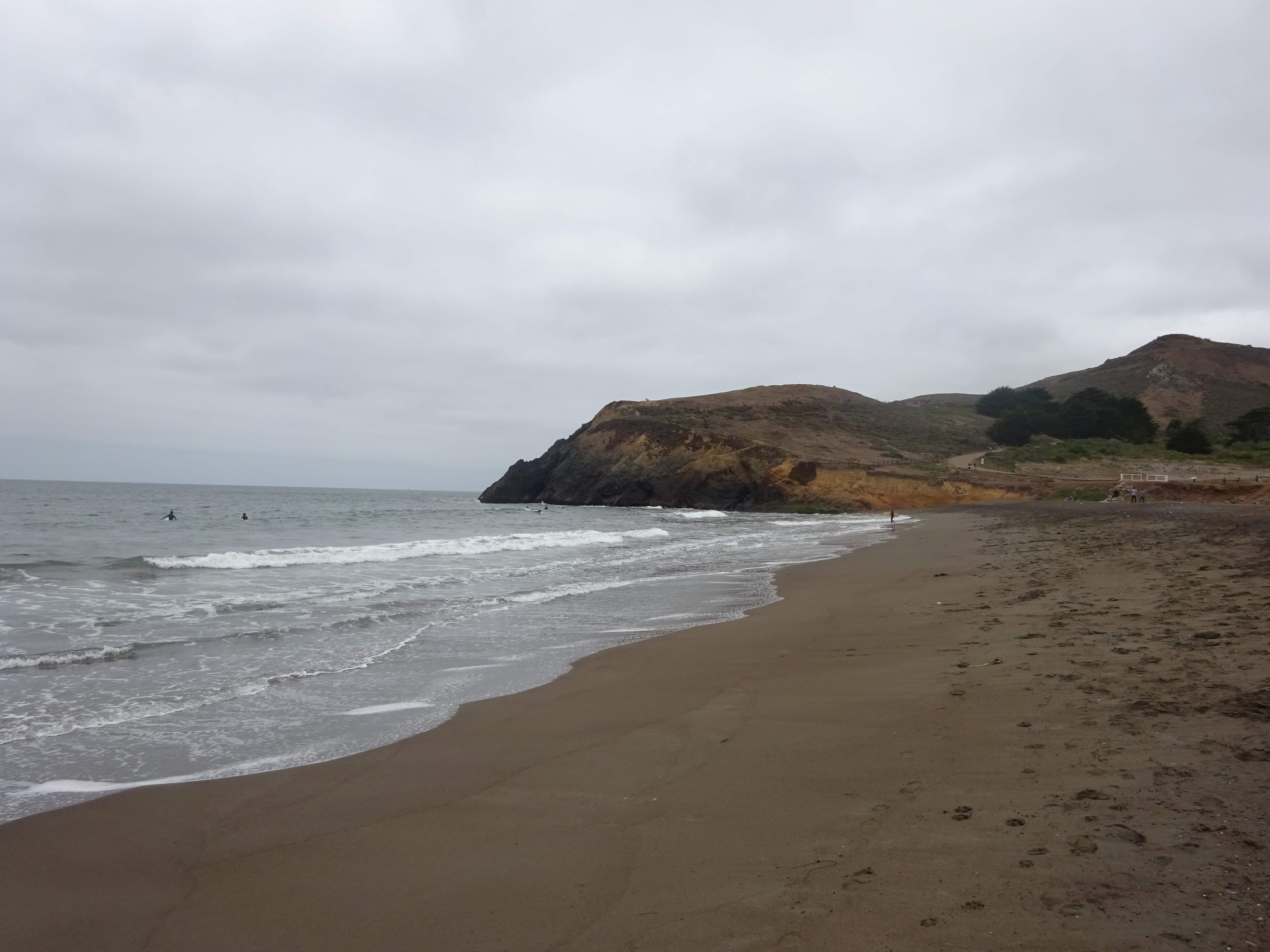
There’s a good chance you’ll see some surfers in the northern end of the small beach:
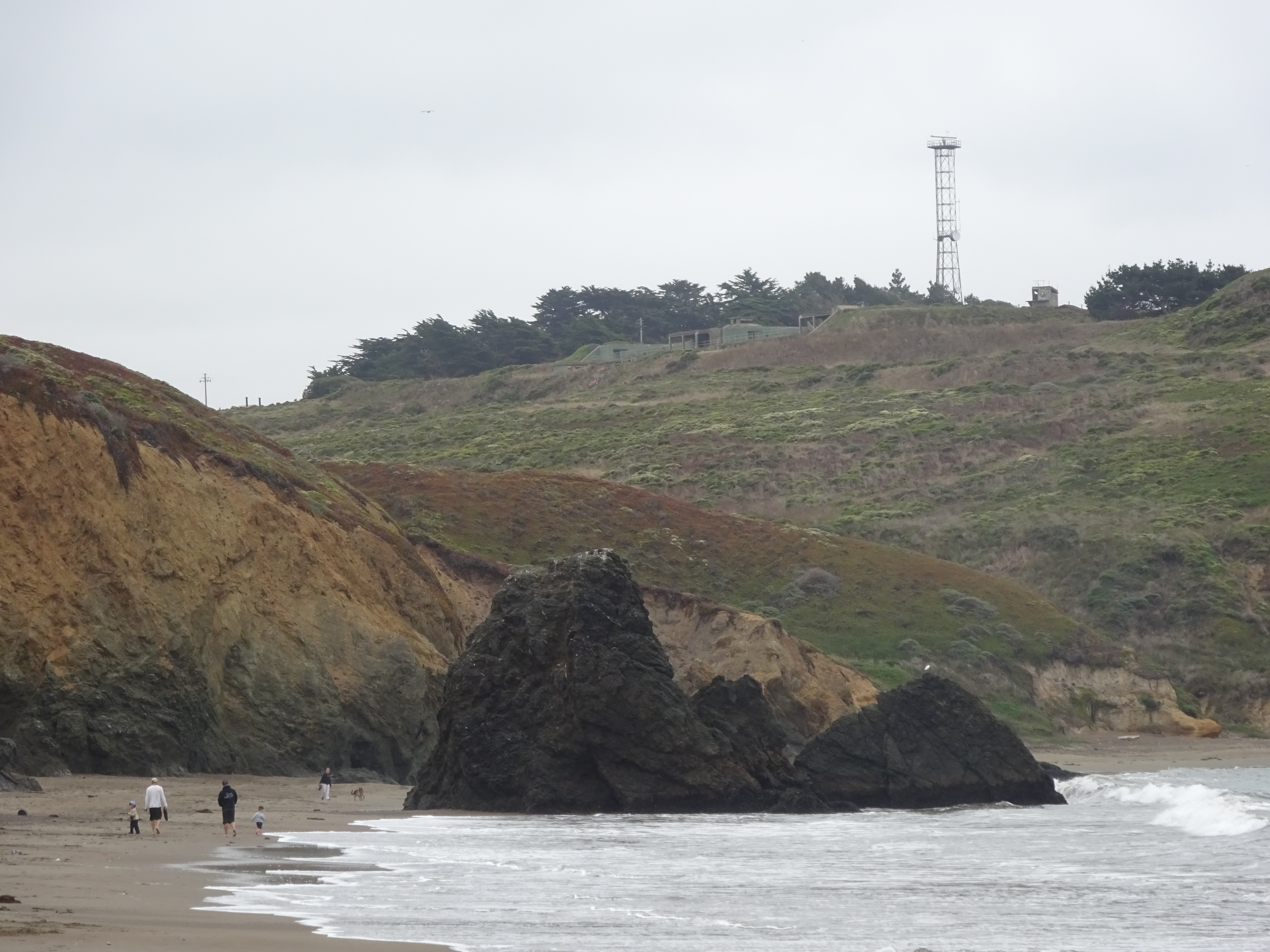
North end of Rodeo Beach.
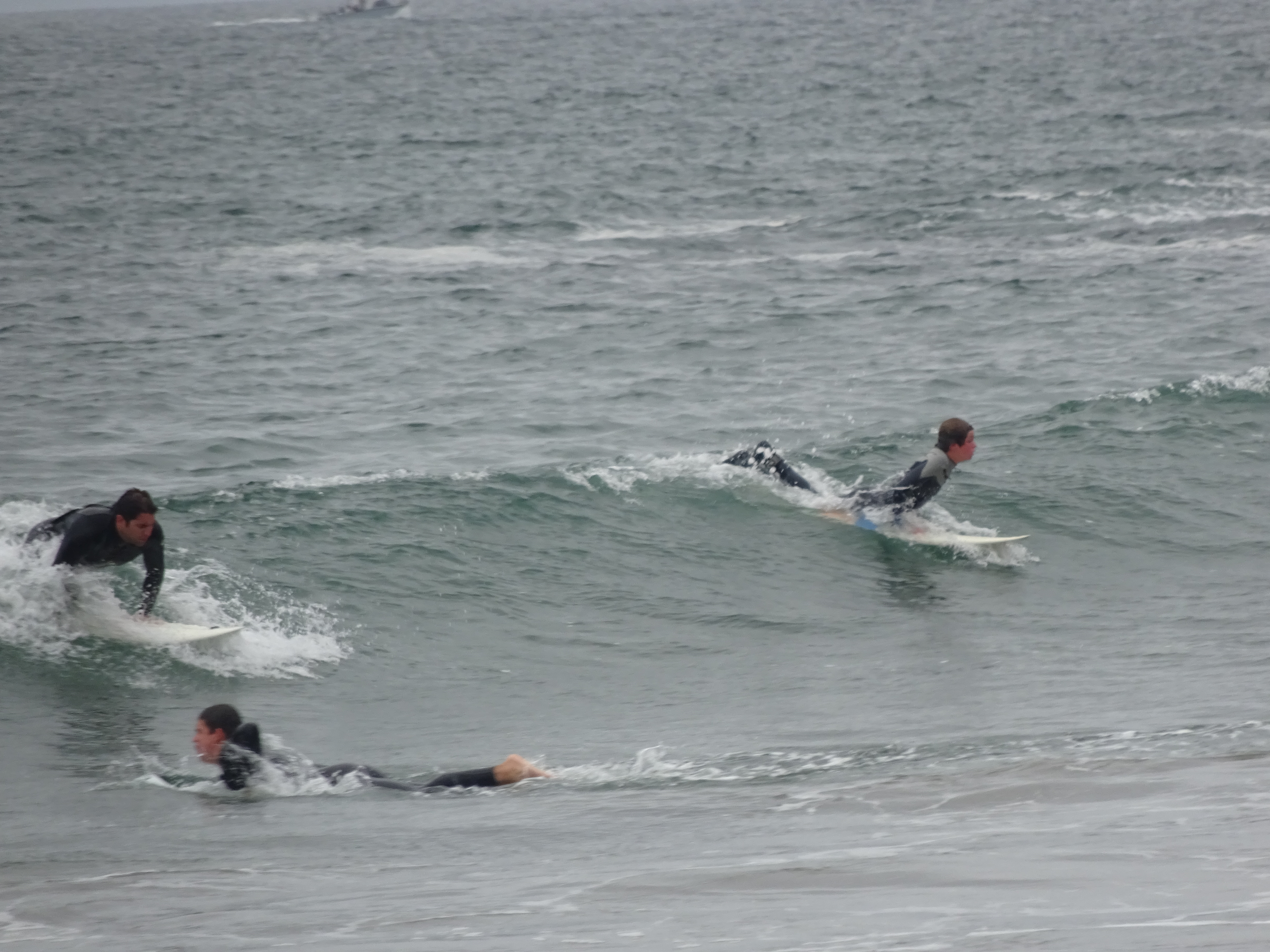
Rodeo Beach surfers.
A little more than a mile from the starting point (or the finish line) is Slacker Ridge (sic), a good fifth of a mile of mostly steep uphill that branches off from a steep uphill section of the main trail. Many no doubt skip it for those reasons, but while the ascent isn’t fun, the views at the top are worth it, especially for the different perspectives it gives you on the Golden Gate Bridge and the San Francisco skyline:
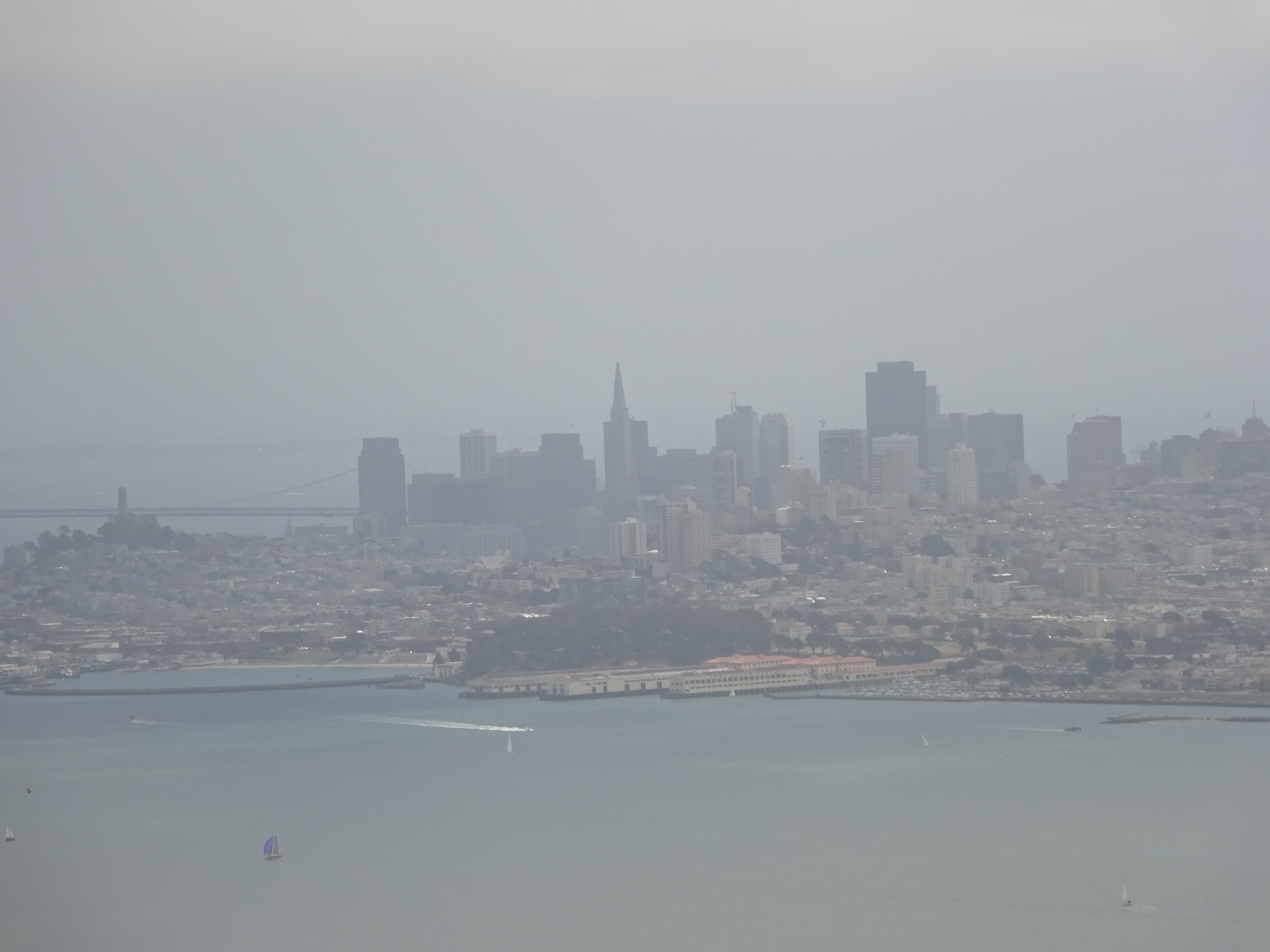
Hazy San Francisco skyline, as viewed from Slacker Ridge.
Unusual view of the ramp to the Golden Gate Bridge from the northern end, near the beginning of the trail.
If you have a lot of time, when the trail intersects with Conzelman Road nearer to Rodeo Beach, another option is to take the half-mile Upper Fisherman’s Trail down to Black Sands Beach. More details in my Black Sands Beach post:
Black Sands Beach, viewed from Upper Fisherman’s Trail.
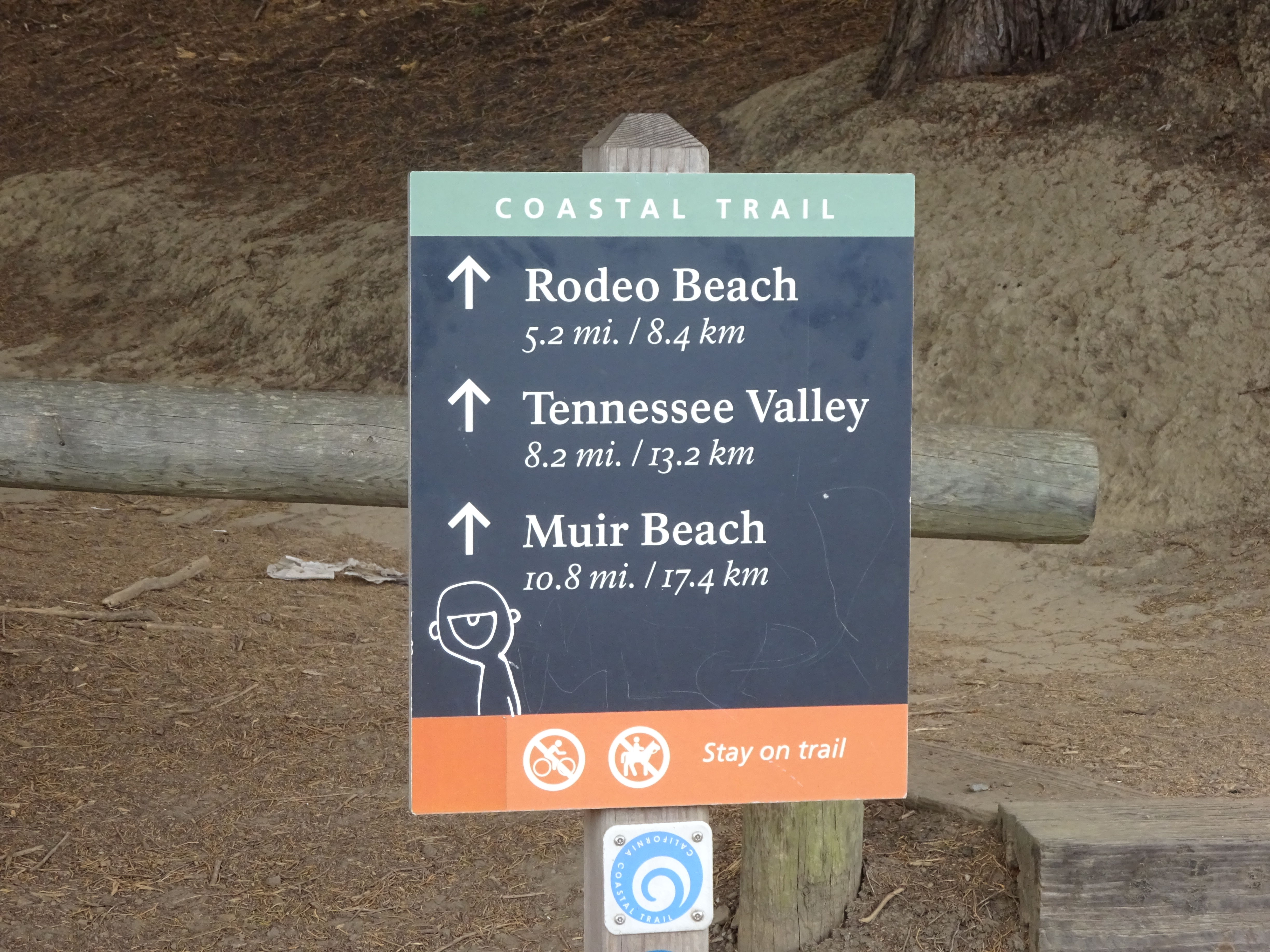
While there are some markers and basic maps along the way, the trail to Rodeo Beach and back really isn’t marked in as fool-proof a way as you might hope. Neither are the online maps, but if you want to get some idea of what you’re in for before you go, you can look over the National Park Service map here. Even then, the best way to get there if you don’t bring a map is just to keep bearing in the direction of the water, which will lead you to the beach eventually.
Small bridge near beginning of trail.
Trailhead in the parking lot at the northern end of the Golden Gate Bridge.