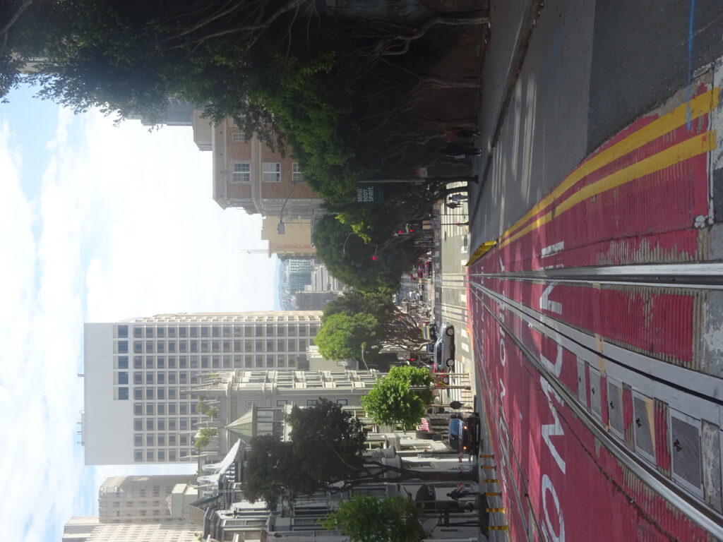
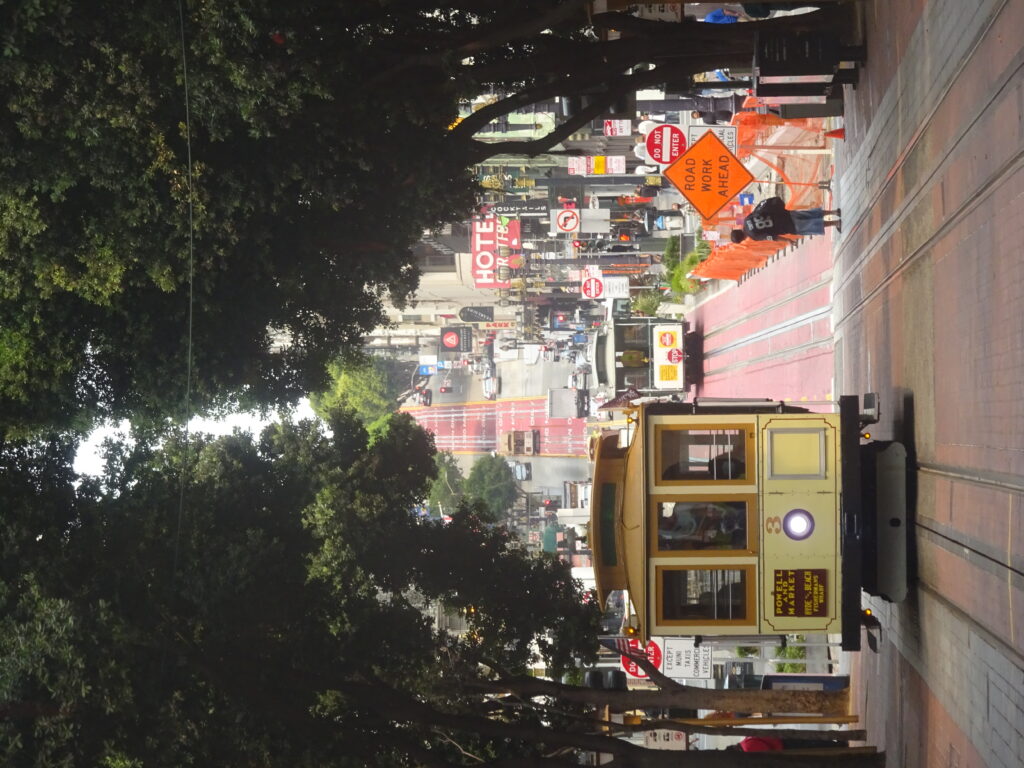
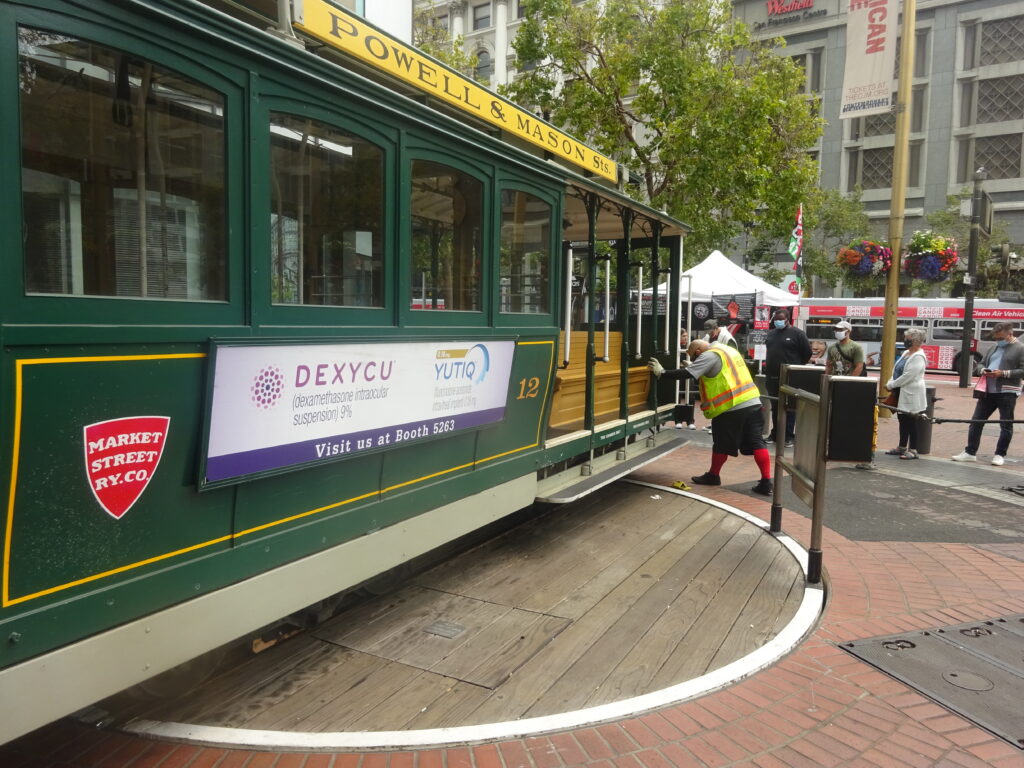
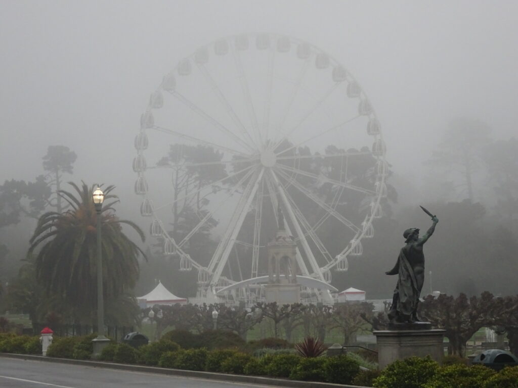
I’ve lived in the Bay Area for about forty years, but there are still a number of things I’d like to do that I still haven’t done. That spans visits to as far away as the Farallones Islands and as close to the city as the ferris wheel recently installed at Fisherman’s Wharf. In June, I did manage to cross one longstanding attraction off my list when I made it up to Jack London State Park in Sonoma County, about an hour and a half north of San Francisco.
Although there are structures and exhibits related to the life of famous writer Jack London, who had a ranch and home on the grounds during his final years, the main reason to go is for the actual park and hiking its trails. There are about thirty miles of trails, and unless you’re a mountain biker or an ultra-marathoner, you’re best of picking one long one or two short ones per visit, especially as the park’s only open 9am-5pm. I opted for what seemed like the easier of the two long trails, the Sonoma Ridge Trail, though the park map ($1 at the entrance; entrance fee is $10) classifies it as “strenuous.”
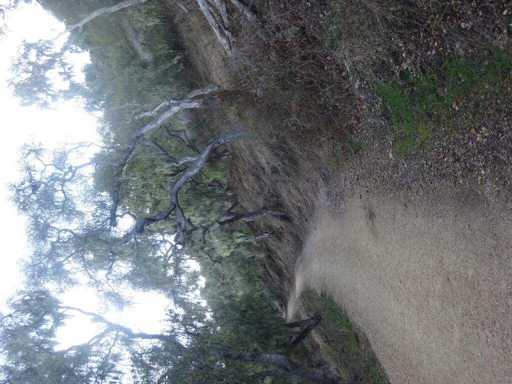
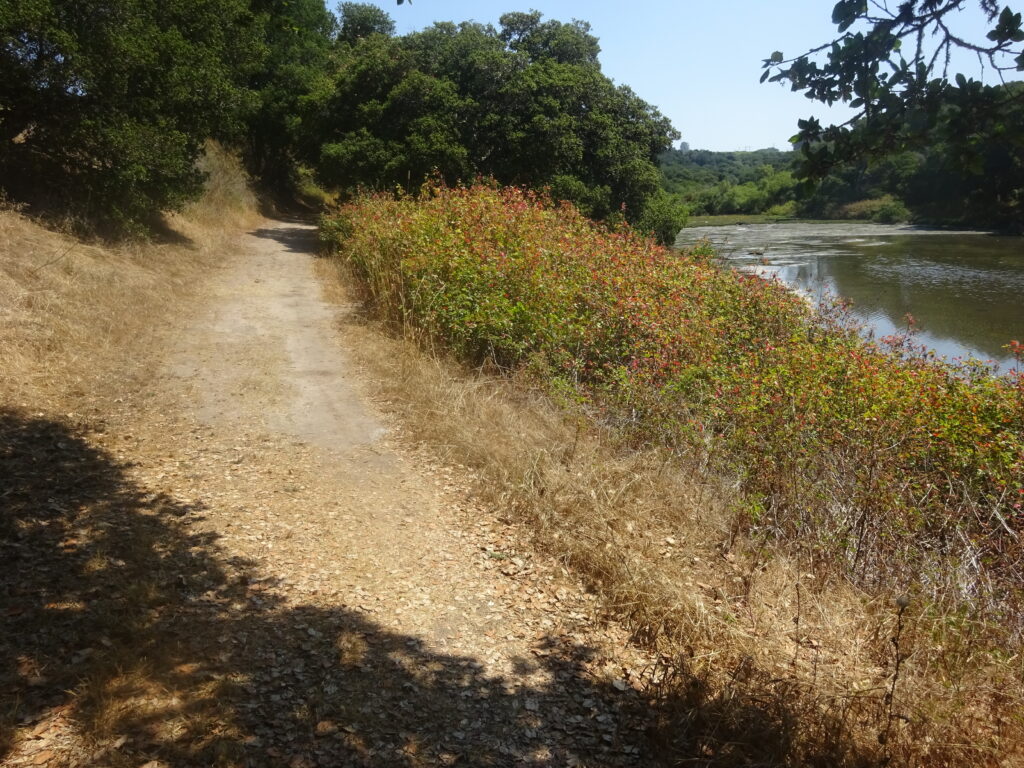
The trail isn’t so much strenuous as continuously hilly, with few truly steep grades, but not many level sections once you get past the lake. Adding up to almost ten miles out and back, it narrows considerably after you turn off the Mountain Trail to get to its main portion, though that’s not an issue unless you need to step to the side to let mountain bikes pass. On a beautiful, sunny June Friday, I saw just two mountain bikes, and only two hikers on the main part of the trail, though that might have been in part because I entered the park right after it opened.
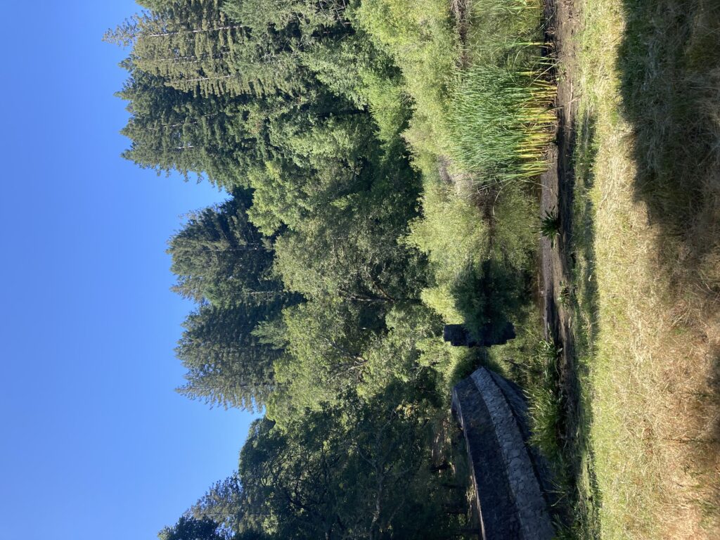
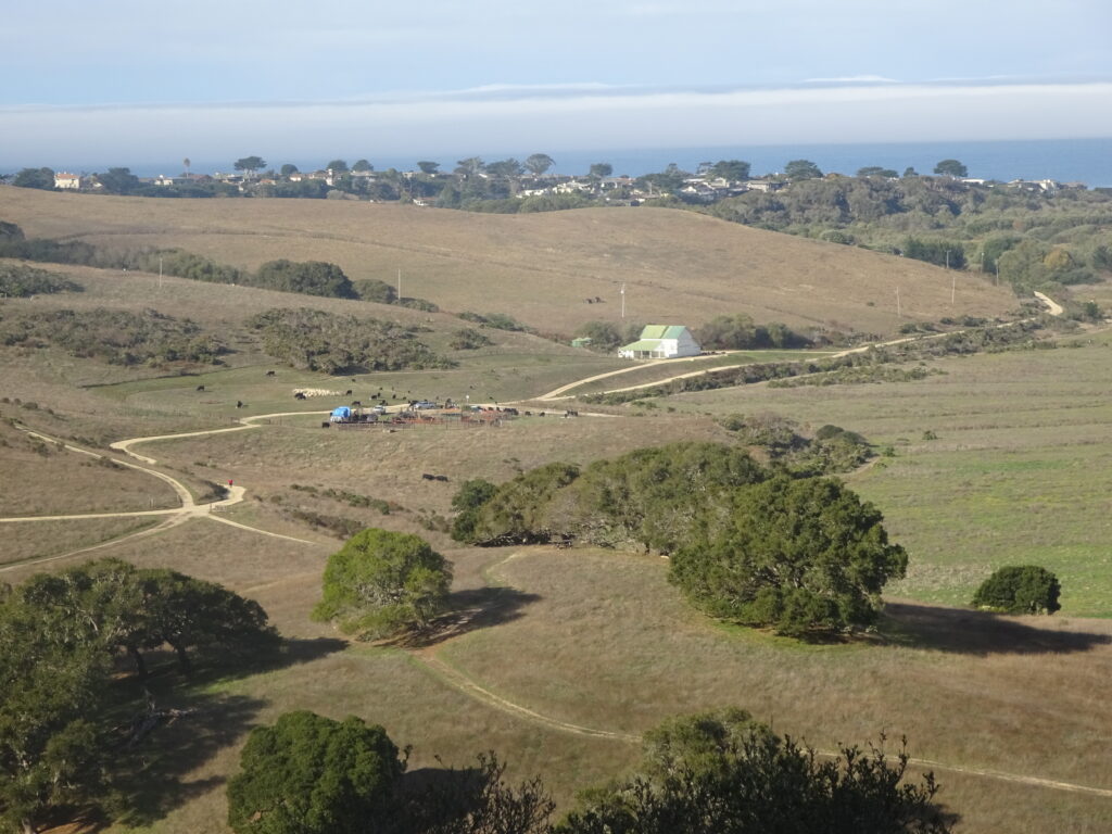
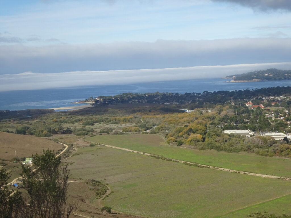
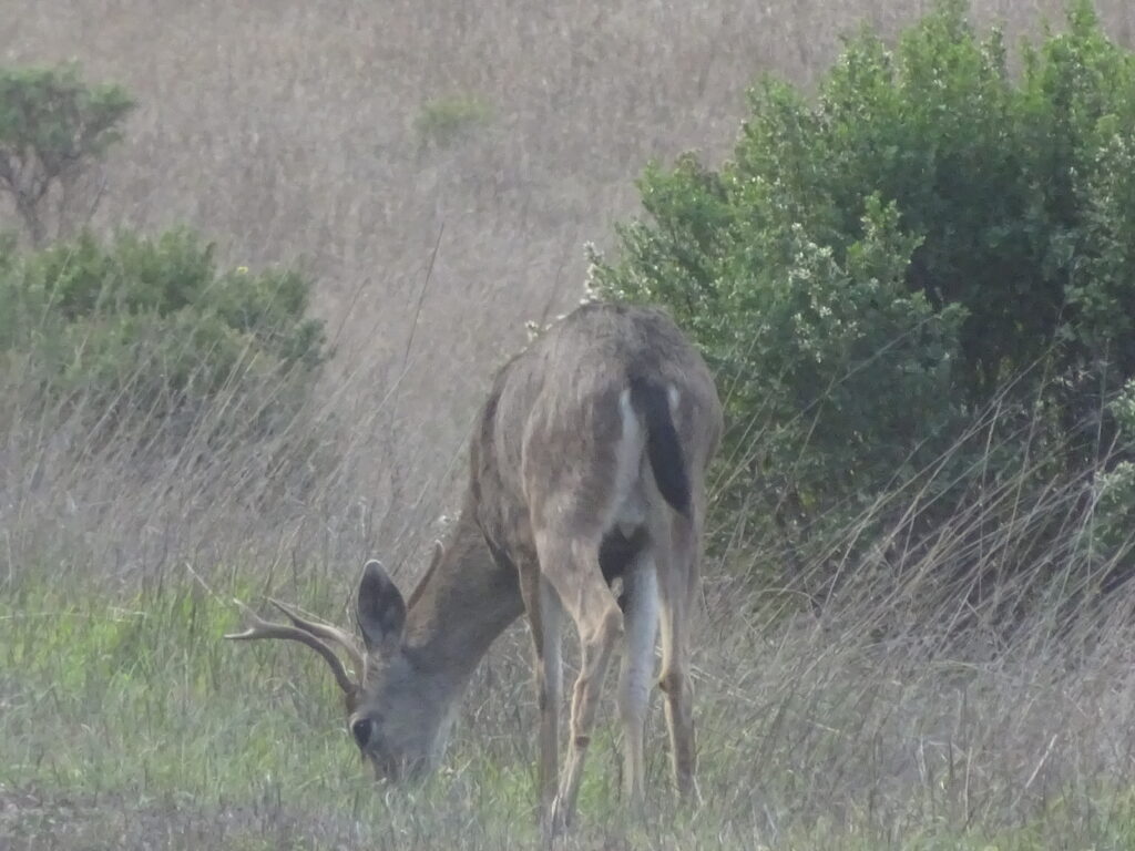
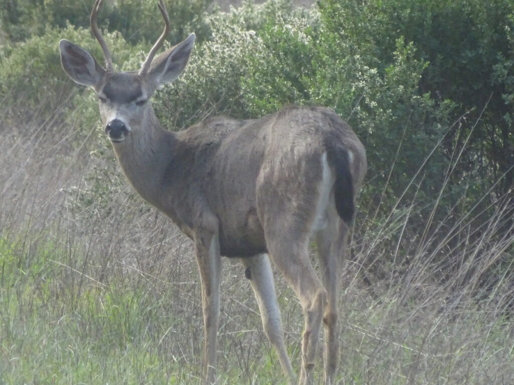
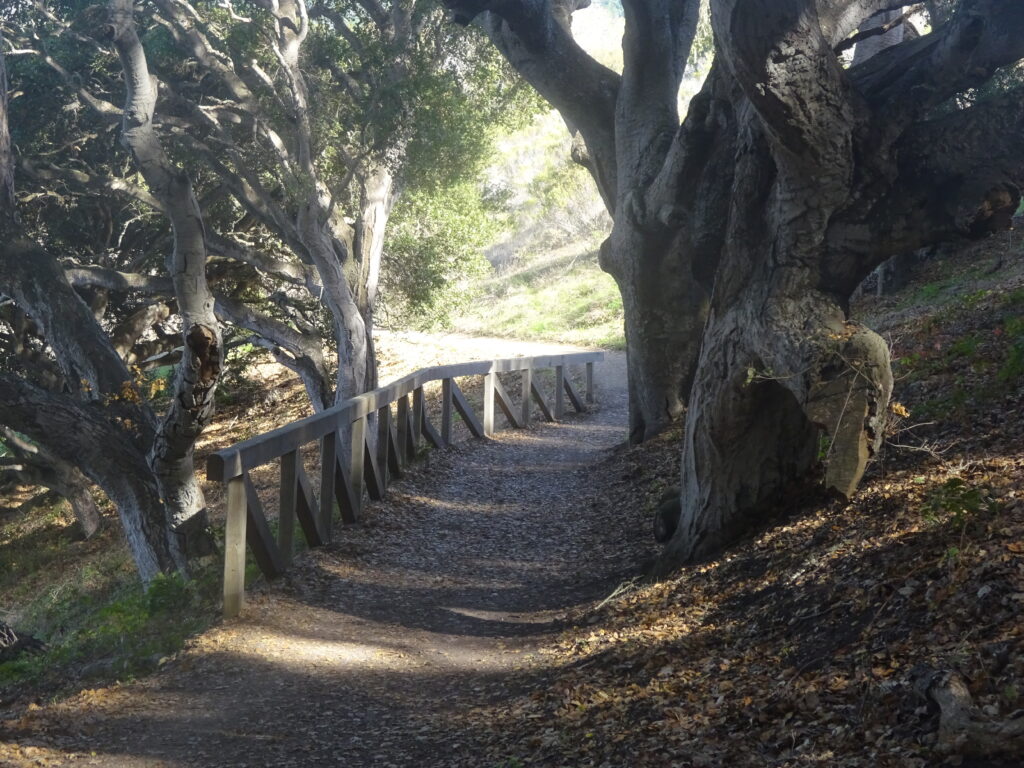
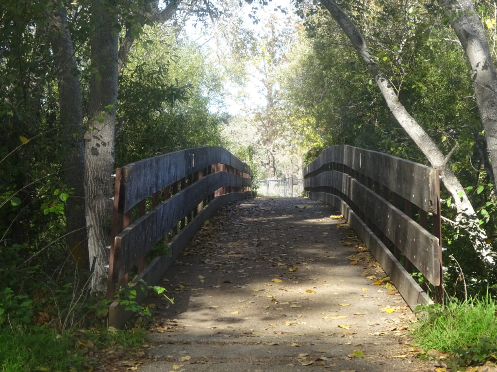
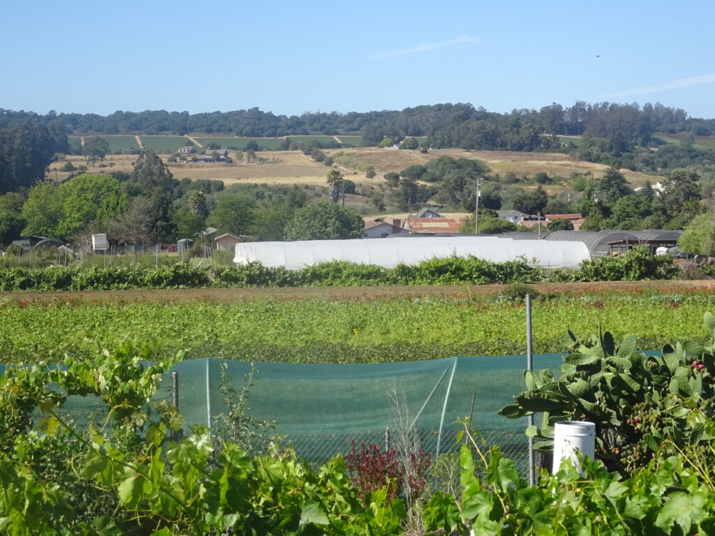
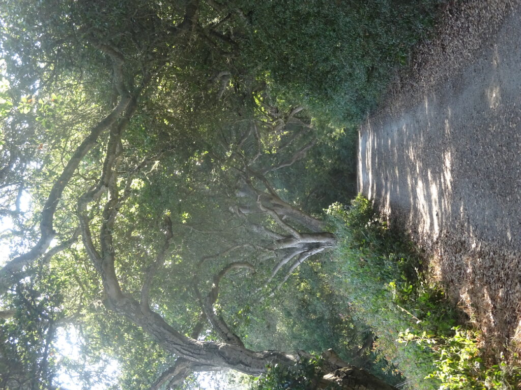
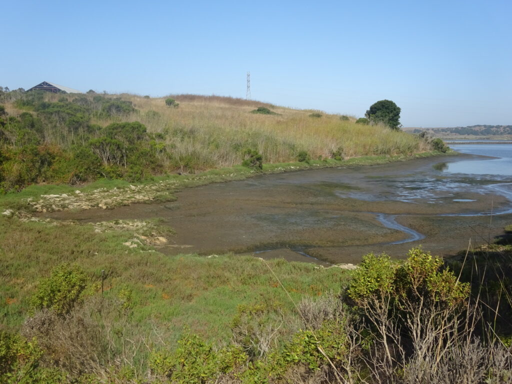
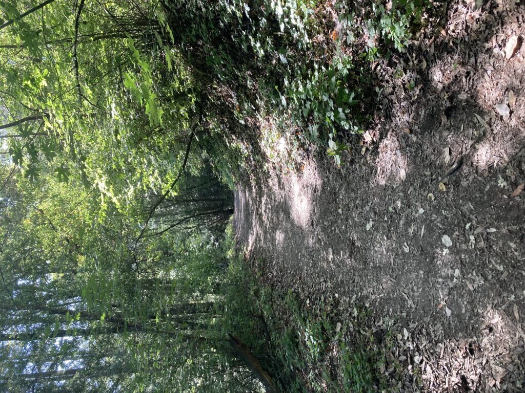
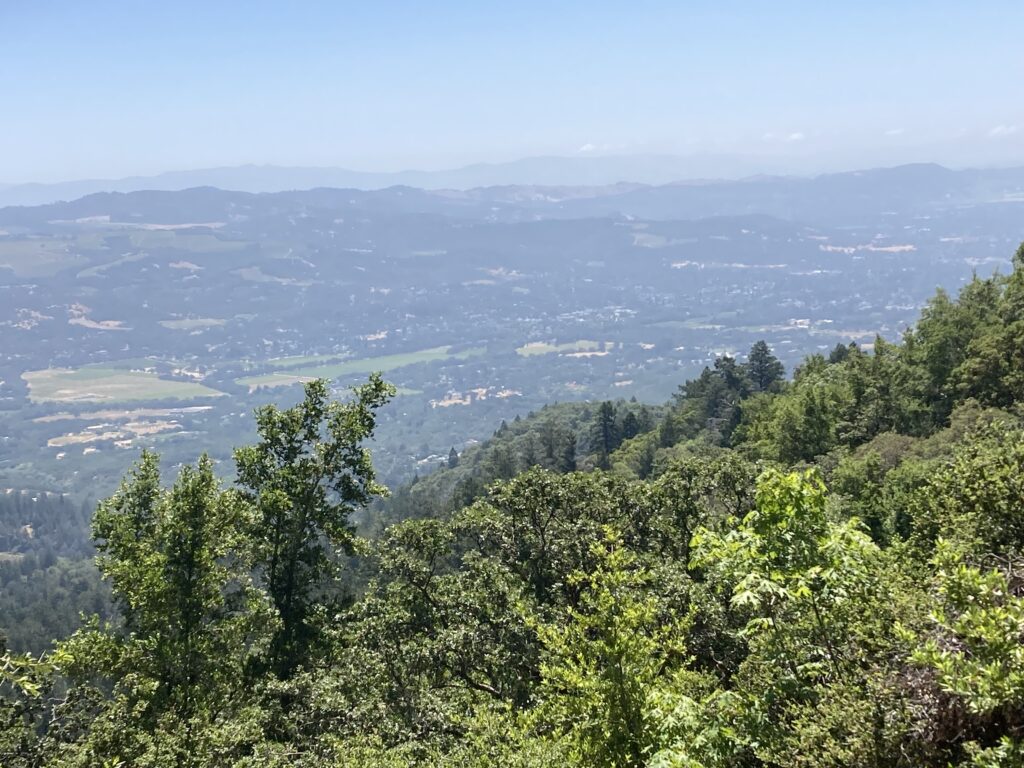
As you can see from the pictures, beautiful foliage is abundant, though it gets more open as you approach the trail’s highest point. At 2100 feet, it’s not that high, but it takes almost a couple hours with the hills, much of it ascended by switchback. It was a little hazy the morning I visited, but you can see much of surrounding Sonoma County at a couple of the more open spots.
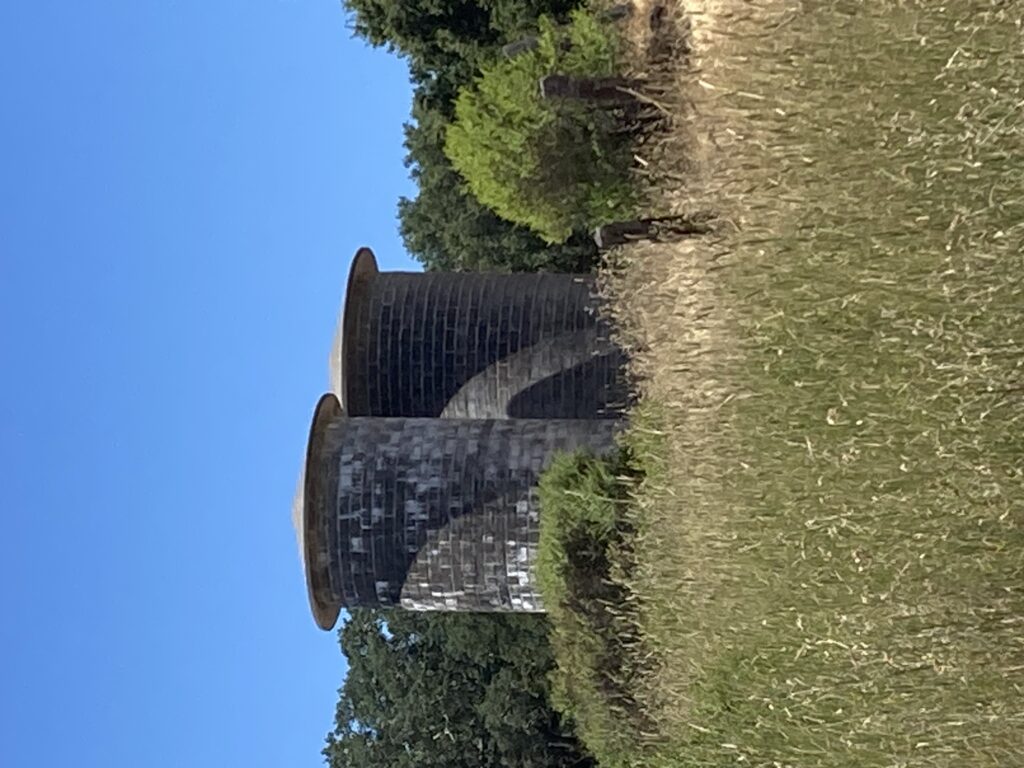
There are many people, though not exactly crowds, walking around the moderate parts of the trails near the parking lots, lake, and surviving buildings from London’s time. The most striking of those are a couple large silos, standing out for their stark difference from the 1500 or so acres of trees, vegetation, and farmland.
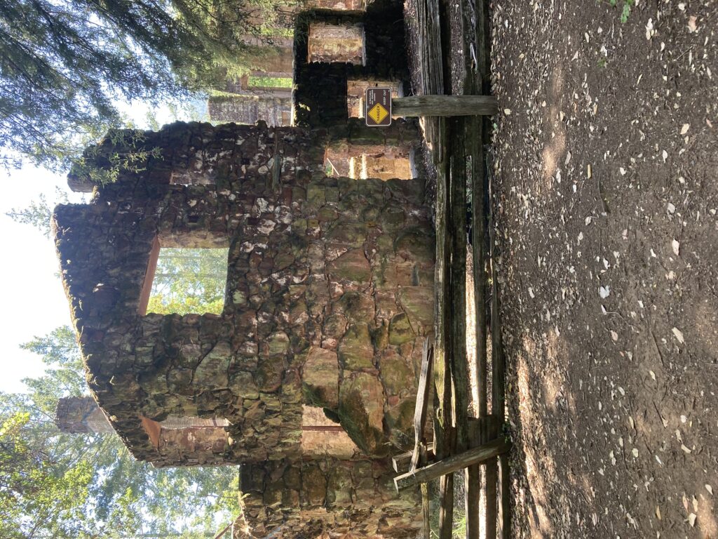
Near one of the two parking lots, there’s also a small museum, the ruins of London’s home on the property, and the gravesite for London and his wife Charmian. I have to admit I’ve only read one of London’s many books and his classic short story “To Build a Fire,” but I appreciated how the museum noted that his wife (actually his second) was a very progressive and adventurous woman for her time. If you’re visiting for both a long hike and the Londonalia (also including some of his farm buildings), you might want to split those into separate visits, since you do have to walk an additional couple miles or so to get to all of these.