There are so many striking vistas in the San Francisco Bay Area that residents not only take many of them for granted, but don’t even visit some of them. The area just south of San Francisco between the city and the airport is, if not exactly maligned, not really paid much attention to unless you live in those neighborhoods. It’s my guess that few people outside of those neighborhoods (and maybe not too many people in them) visit San Bruno Mountain State and County Park, although it’s only a couple miles south of the San Francisco city limits.
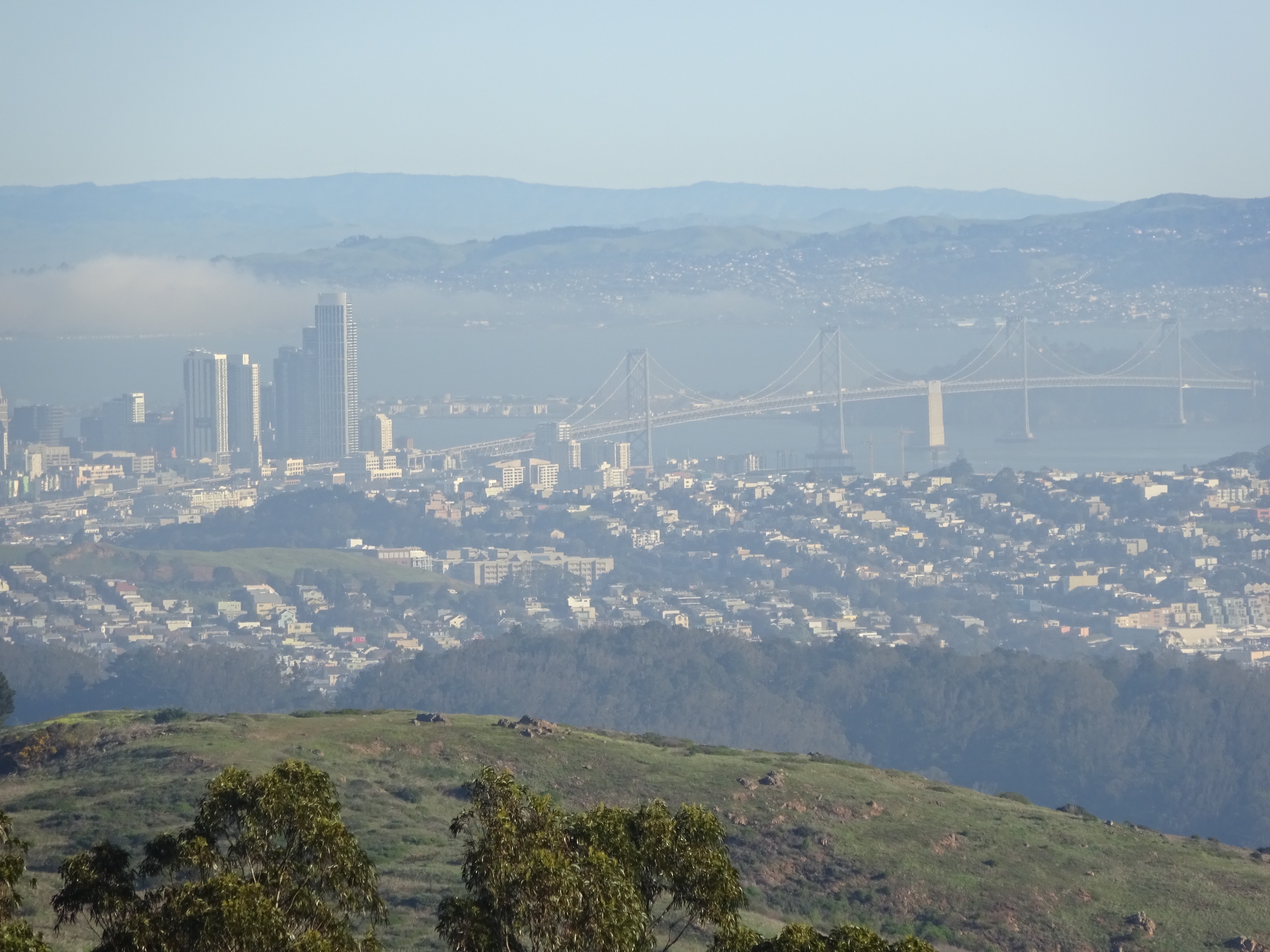
Part of the downtown San Francisco skyline and the Bay Bridge, as seen from San Bruno Mountain.
I have to admit that even after about thirty years in the Bay Area, I only got to San Bruno Mountain for the first time last June. The friend I was with has lived in Northern California all of her life (mostly in the Bay Area), and had never been there. We might never have gone if someone at a booth at the San Francisco Green Festival hadn’t enthusiastically talked about it with us.
San Bruno Mountain might not be as isolated, quiet (it’s near busy roadways, a major highway, and the airport), or jaw-droppingly scenic as the more famous Bay Area parks. It does, however, give you pretty impressive 360-degree panoramic views of the Bay Area. From the small parking lots at the park entrance on Guadalupe Canyon Parkway, the best way to see those is by taking the Summit Loop Trail, whose trailhead is near the main parking lot (and right next to the smaller parking lot that you have to drive back under Guadalupe Canyon Parkway to reach).
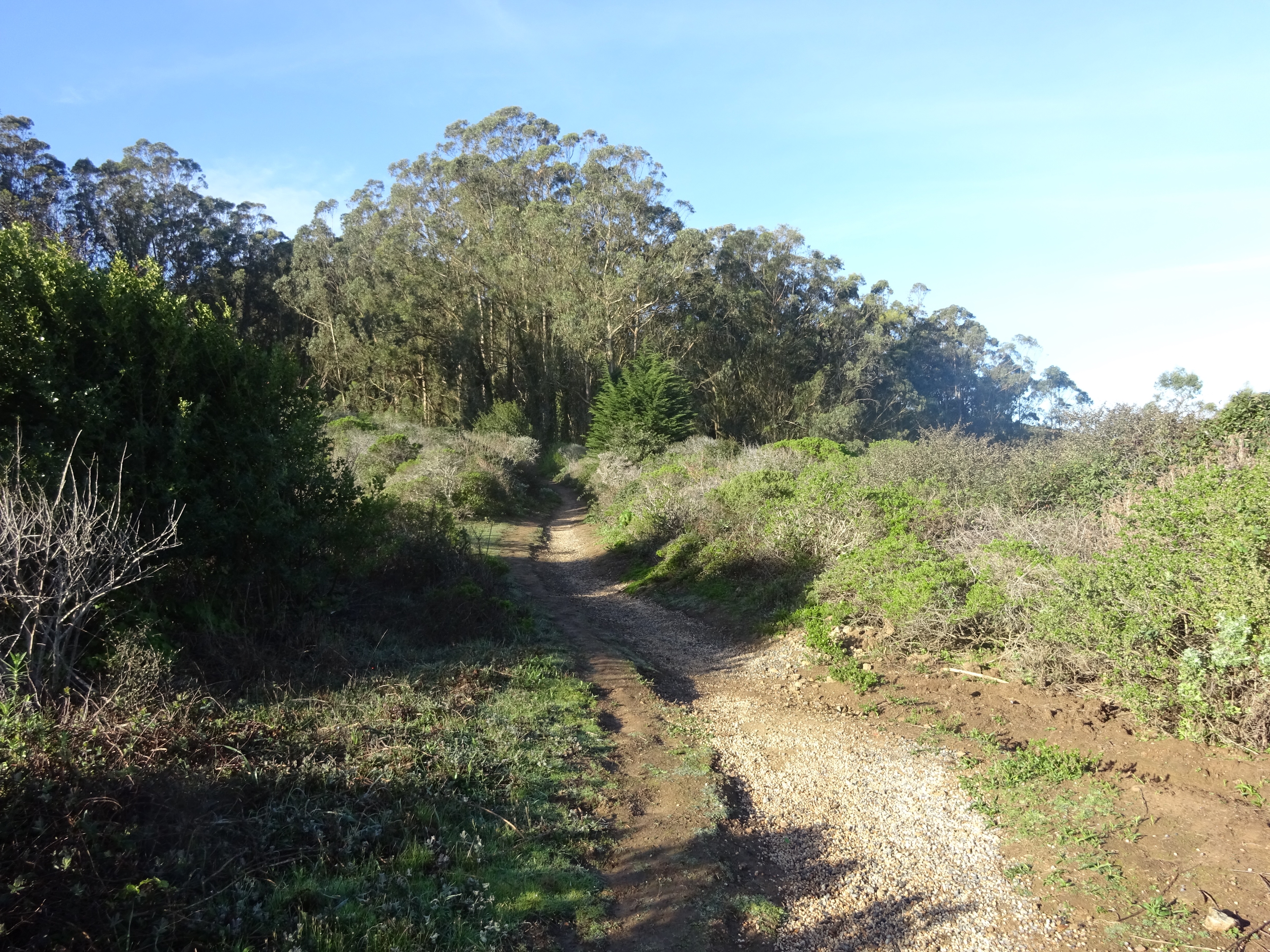
Near the Summit Loop trailhead.
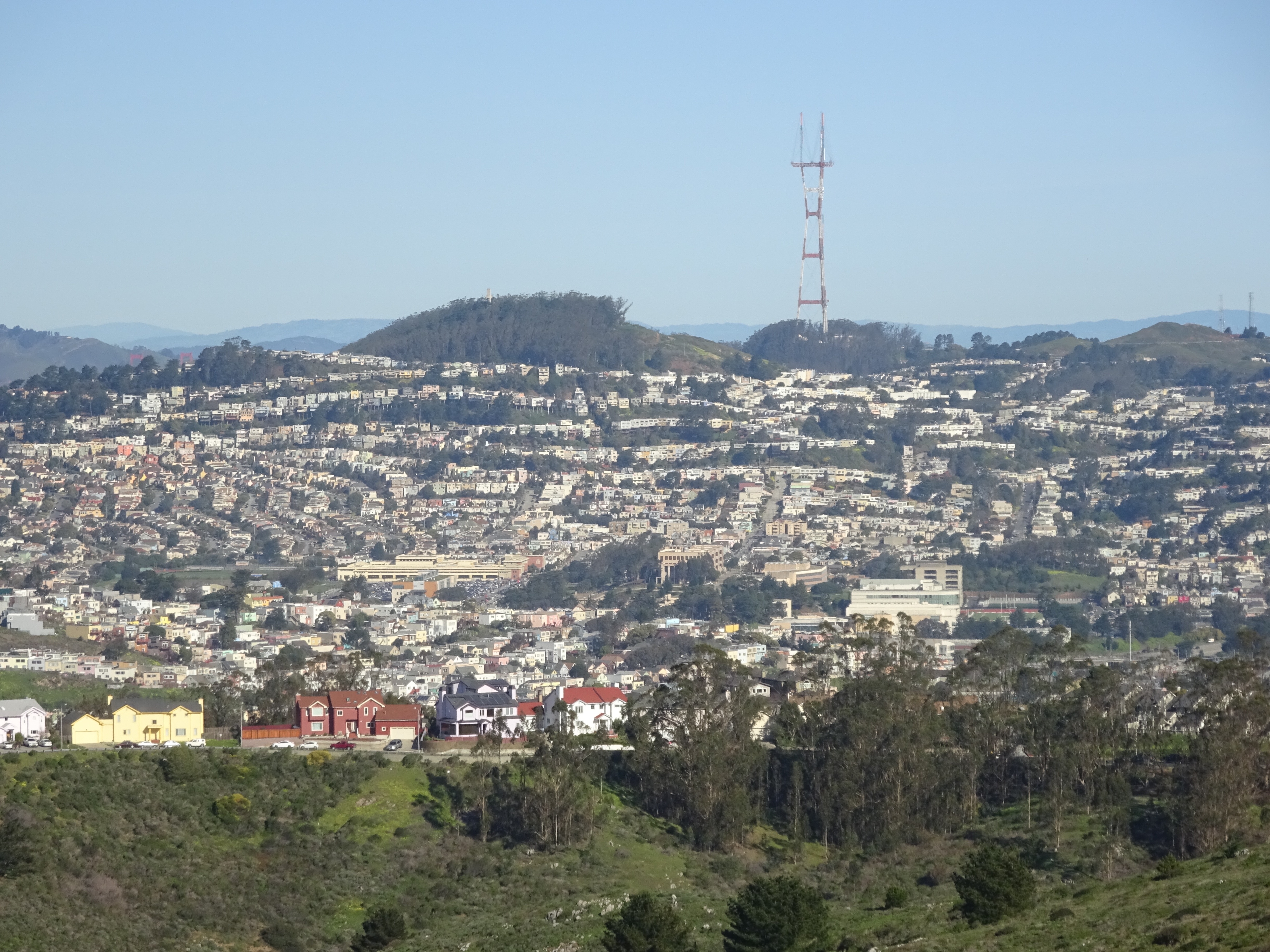
The trail isn’t uninterrupted scenery. There are radio towers and ugly maintenance buildings near the top. Many San Franciscans, however, rarely or never see sweeping views of the southern part of the city (as you see when you look to the north), or the neighborhoods just south of the city (as you see when you look to the south).
Southern San Francisco neighborhoods, as seen from San Bruno Mountain. You can just about see the tops of a couple spans of the Golden Gate Bridge on the far left.
The towns you see on the south—South San Francisco (a separate town from San Francisco itself), Colma, and Daly City—get relatively little attention from tourists, the media, or most San Franciscans. With their industrial parks, cemeteries, and modest-income (by San Francisco’s inflated standards) homes, they’re decidedly unglamorous in comparison with the Bay Area’s gaudier attractions. They are towns that San Franciscans drive through, but rarely visit. They are, however, part of the San Francisco Bay Area, and deserve some appreciation, even if it’s from the top of a mountainside.
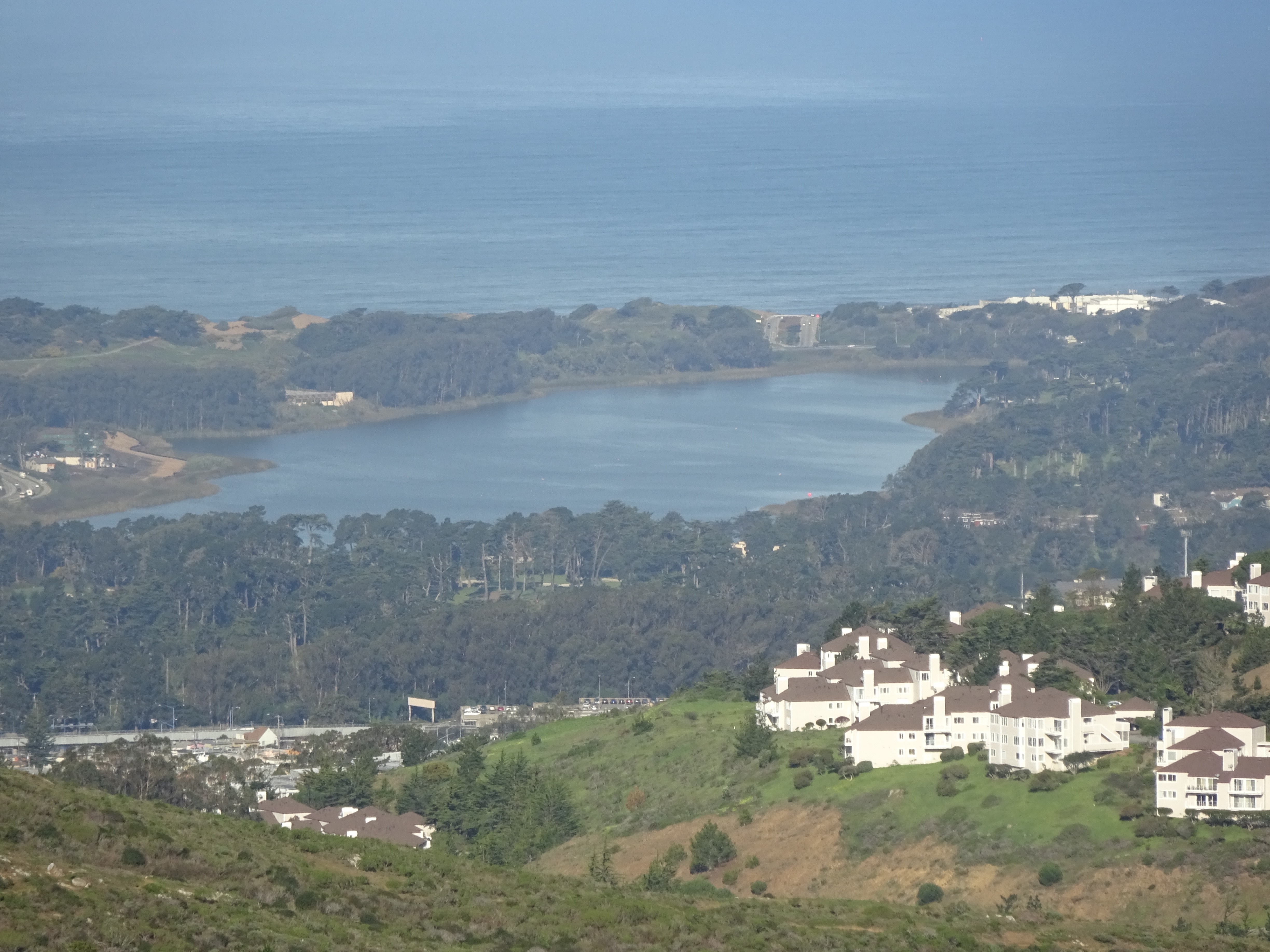
View of Lake Merced from the Summit Loop trail, with a hillside settlement on the right.
The trail itself is fairly pretty, if not world-class stunning. They’re also fairly empty—I only saw about a dozen people on my second visit (on a Monday morning), and not many more on my first, although that was on a Sunday. This season’s El Niño hasn’t dumped nearly as much rain on the area as the drought-stricken region has hoped, but there’s at least been more rain this year than in some other recent dry ones. That means the vegetation’s fairly lush, and that warmer-than-average temperatures in the mid-winter, as bad a sign as they are of more global warming, make for good hiking weather.
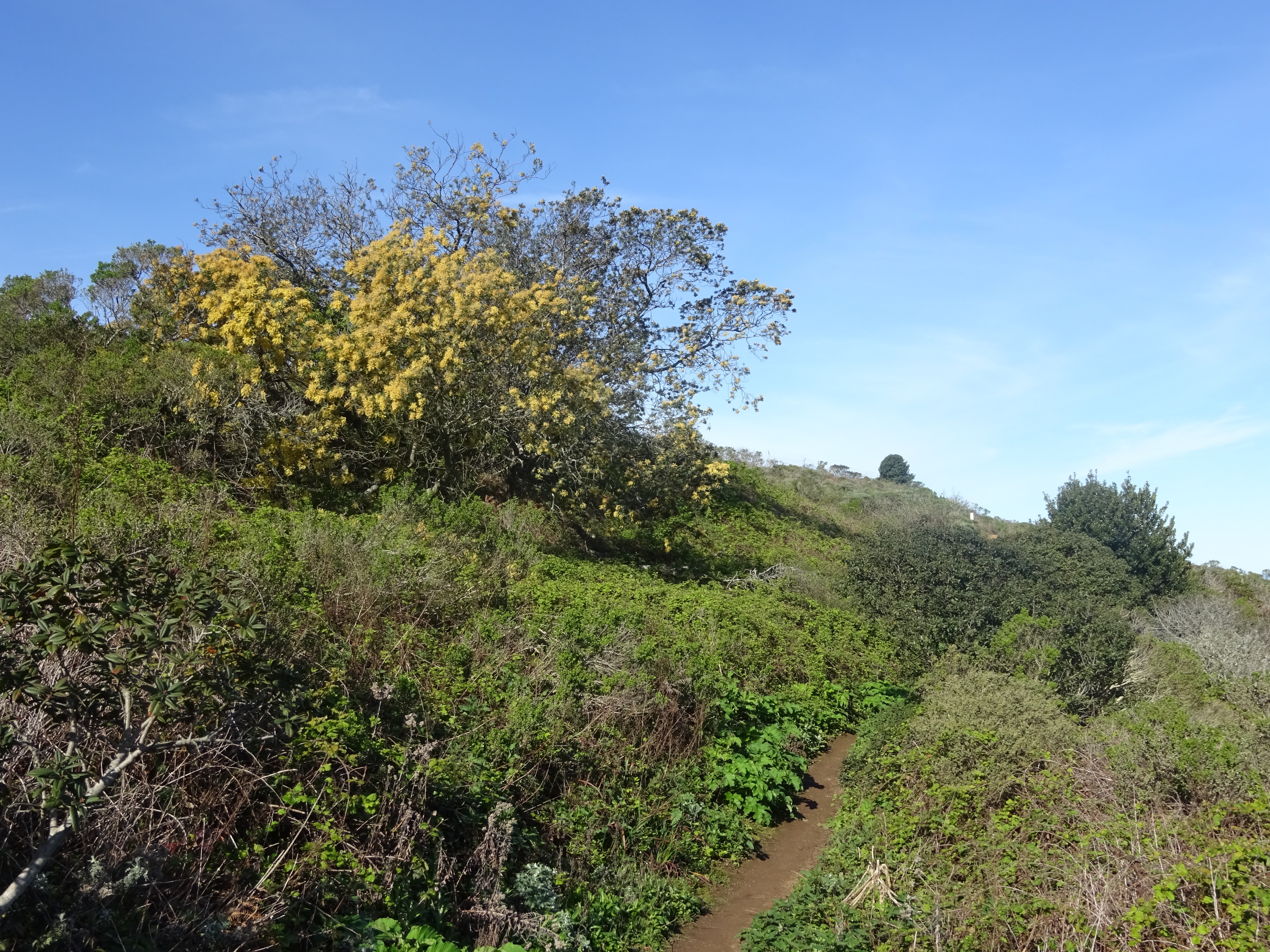
Lush life on the Summit Loop trail.
Theoretically the park should be bikable from San Francisco, and in fact I’ve seen a good number of bikes on Guadalupe Canyon Parkway on my two visits. It’s disappointingly unbike-friendly, however, if you want to bike to the main entrance and walk a trail. I like to think of myself as a pretty hardy middle-aged rider, but wouldn’t look forward to biking up long, steep Guadalupe Canyon Parkway in the absence of wide bike lanes most of the way. More surprisingly, there’s barely anything in the way of bike racks at the entrance, at least that I could see. There’s a green post in the grass near the bathrooms whose circular railings could lock up a couple bikes in a pinch, but nothing else, although most Bay Area parks provide something more in the way of places to lock your bike.
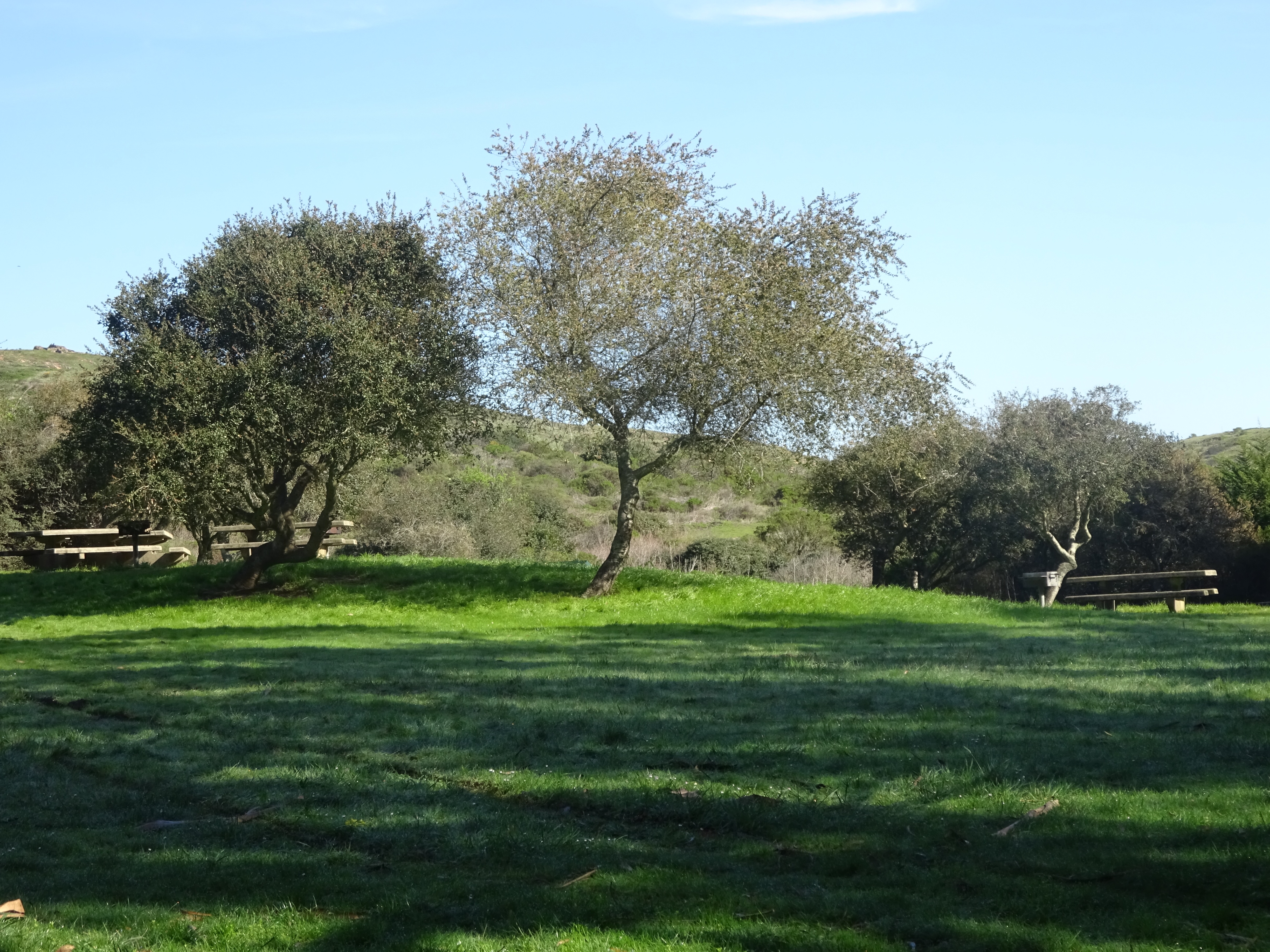
Picnic area near the park entrance.
Basic information about visiting is at the San Bruno Mountain State and County Park website. Directions aren’t too straightforward no matter where you’re coming from; taking the Brisbane exit off 101 is about the easiest. If you’re driving, note that there’s a $6 vehicle entry fee when you enter the parking lot.
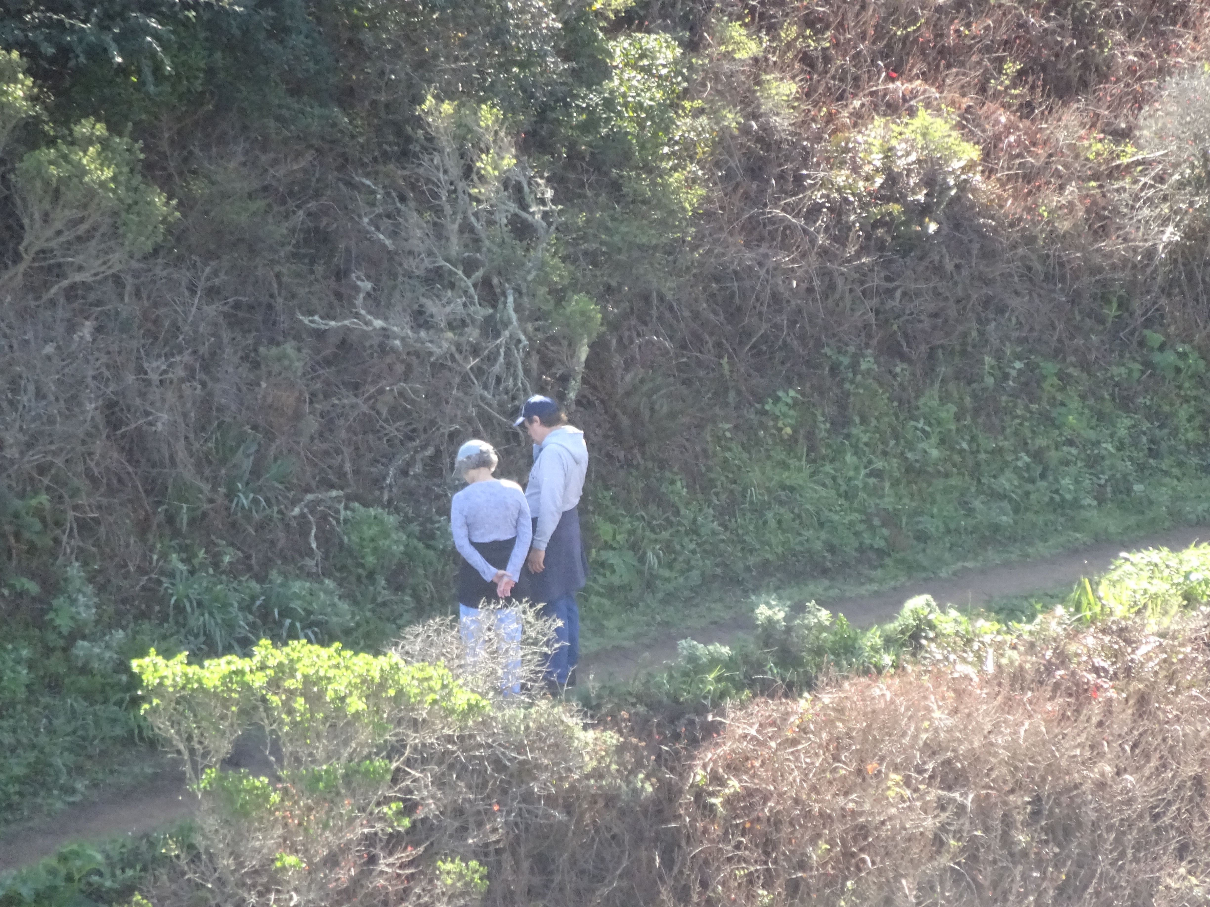
HIkers near the bottom of the Summit Loop trail.
I hopte to visit it one day.