Although it’s not nearly as famous as the Golden Gate Bridge or the Bay Bridge, the Richmond-San Rafael bridge has its own appeal. Connecting Marin County to the East Bay in the San Francisco Bay Area, it’s also pretty long. In fact, at five and a half miles, it’s a mile longer than the Bay Bridge. I never thought I’d see the day when there was a bike/pedestrian path connecting both sides, much like I’m not sure I’ll ever see a bike/ped path connecting both sides of the Oakland-San Francisco Bay Bridge (though one opened on the Bay Bridge a few years ago connecting the East Bay to Treasure Island).
Well, the Oakland-San Francisco Bay Bridge path still seems a decade away at best. But to my surprise, a Richmond-San Rafael bike/pedestrian path opened in November 2019. I rode it for the first time in January, and while it doesn’t have views as spectacular as those on the Golden Gate Bridge (or even the Bay Bridge), it’s well worth cycling.
It’s not as easy to get onto as the other bridges, however. I haven’t yet done so from the San Rafael side, but starting from Berkeley as I did, it’s a good dozen miles or so, including some fairly heavily trafficked wide boulevards near the bridge. There still isn’t a good site for mapping the ride from the East Bay, and Google Maps, as is often the case, gives some twisted directions if you opt to take the Ohlone Greenway and Richmond Greenway bike paths. It’s better, and more scenic, to take the Bay Trail, which runs close to the water for a big chunk before getting to those Richmond streets.
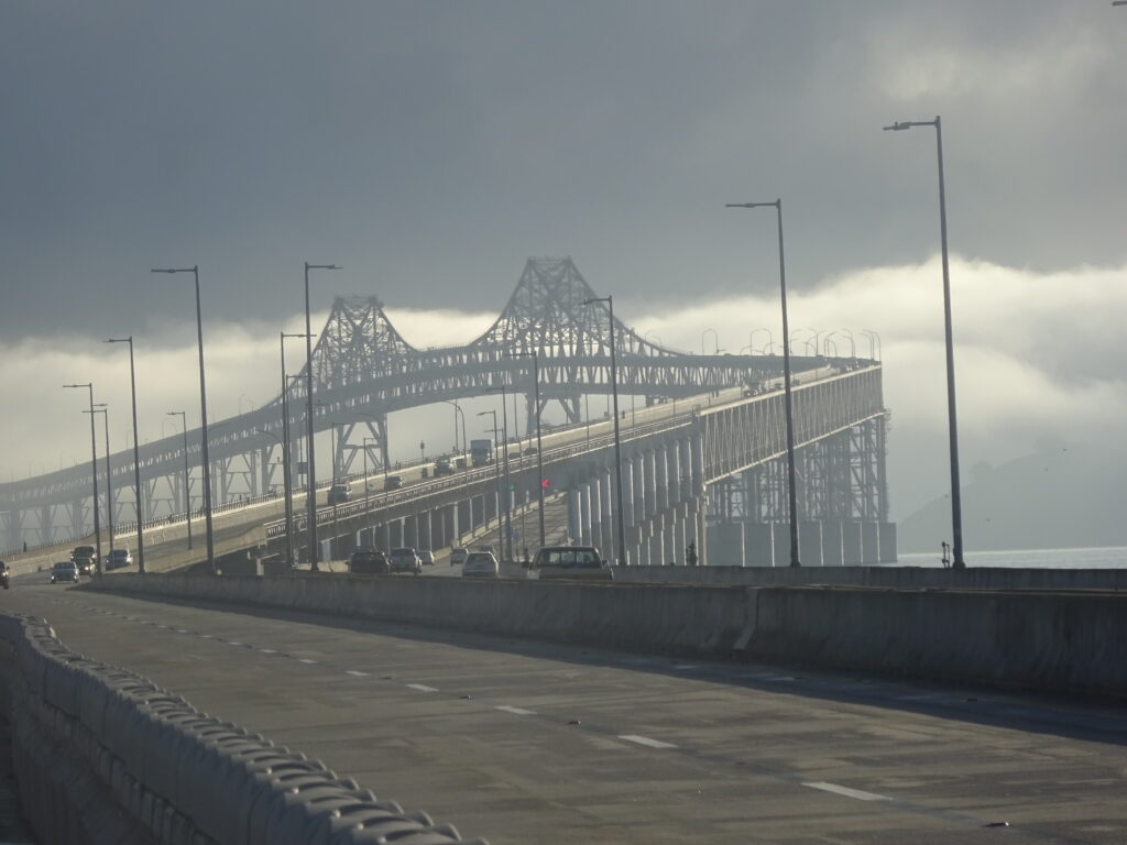
At least the path gets fairly well marked and protected by the time you get to the small town of Point Richmond, a couple of miles or so before the bridge. This is how the bridge toll plaza entry looks, more or less, when you’re driving, as I’ve done quite a few times. Not so picturesque, eh?
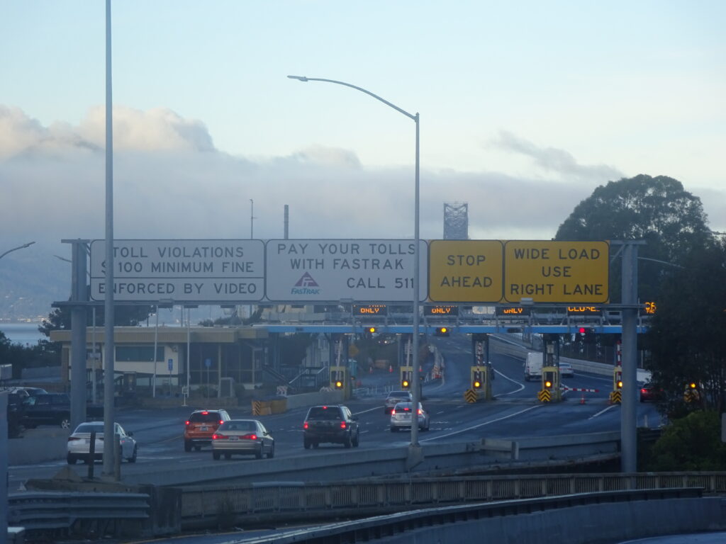
It’s not that much prettier from the section of the path that runs next to the highway right before the bridge, but it’s a little better:
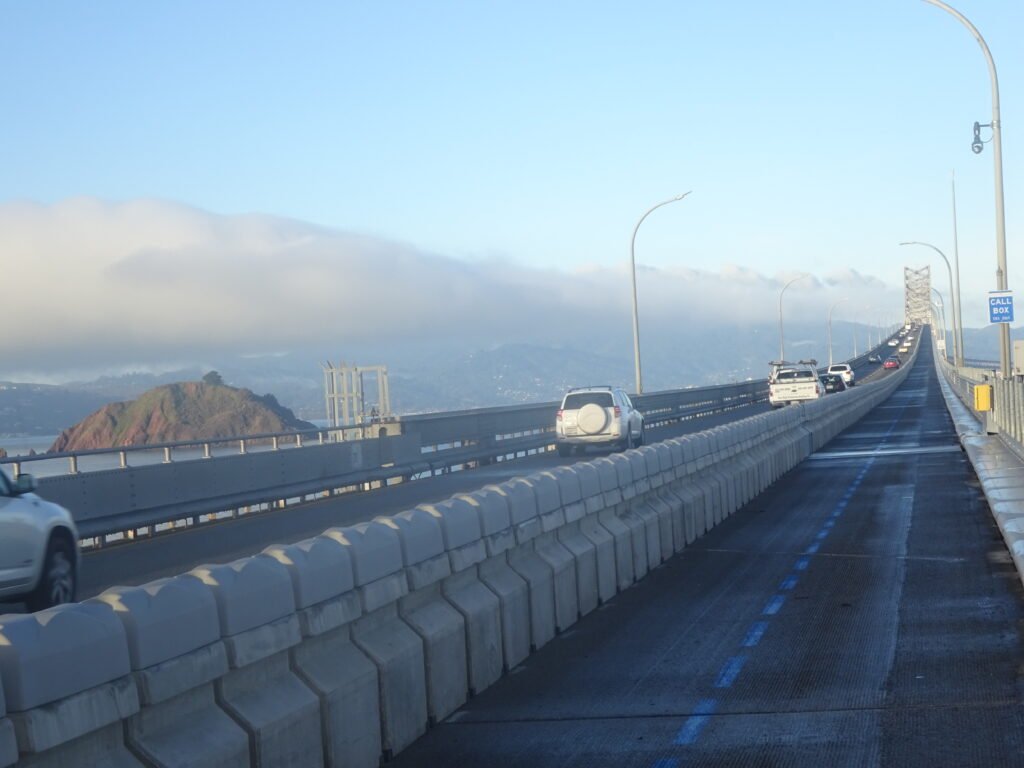
And just a few minutes later you’re on the bridge:
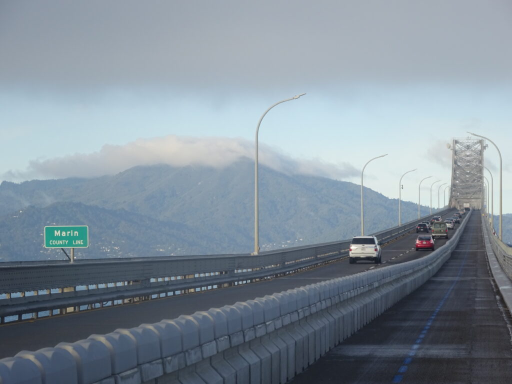
You should of course be in good shape to bike or walk a bridge that’s almost a dozen miles roundtrip. But although it’s not level, really it’s not too steep or hard to navigate, in spite of what you might think from how it looks almost like a roller coaster from certain angles. It’s not as steep or taxing, for instance, as the uphill path from the Bay Bridge toll plaza to Treasure Island. Here’s a shot at about the halfway point, near the Marin County line:
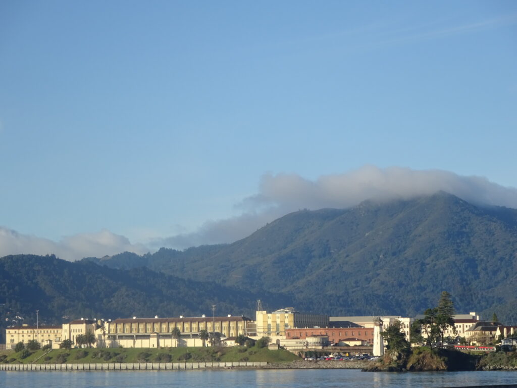
You get some views of San Quentin prison as you approach the San Rafael side:
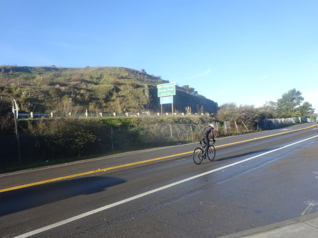
If you’re really up for making a day of it, you can continue on bike paths for quite a while on the San Rafael side. There’s nothing too special when you get off the bridge, as you see here:
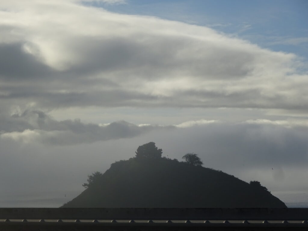
The path runs along the north side of the bridge, so you don’t get unobstructed close-up views of small, uninhabited Red Rock Island to the south. This is about the best you’ll get:
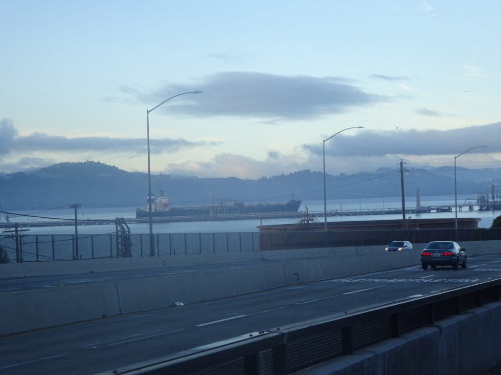
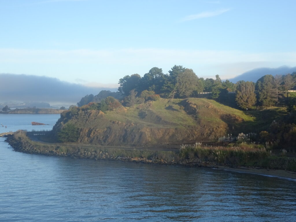
But you do get a good view of Point Molate, a little to the north of Richmond on the East Bay side:
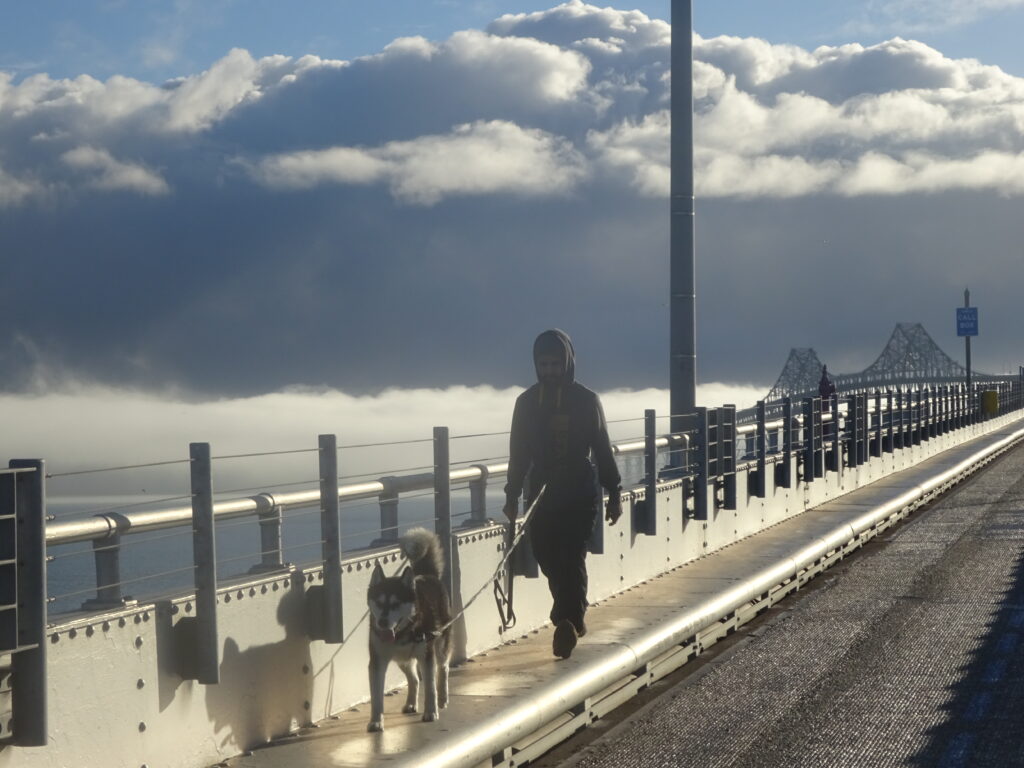
There’s a narrow beam between the path and the northern edge of the bridge that’s theoretically walkable, as this fellow and his dog prove, though definitely not bikable:
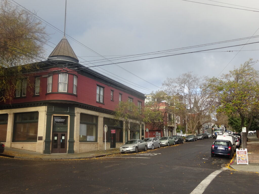
The small town of Point Richmond, an entirely different town than its much larger Richmond neighbor, makes for a quaint if very brief detour on the way to the bridge and back:
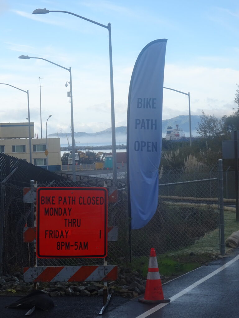
All the online info I can find says the path is open 24 hours a day, but this sign at the entrance on my ride seems to indicate that’s not always the case. I can’t find any hotline or website that gives specific hours in the event of changes, and if anyone knows of such a resource, please let me know and I’ll add a link to this post.