There aren’t too many springtime days in the San Francisco Bay Area when the temperature soars over 80 degrees. It happened yesterday, though, and I took advantage of it as an opportunity to do a 9.5-mile waterside hike to Tomales Point in Point Reyes, about an hour north of San Francisco. It can get pretty windy on that exposed finger of land, all the more reason to go on a much warmer-than-average day with relatively little breeze.
Tomales Point, at the very end of the Tomales Point Trail.
That’s your reward for reaching the end of this out-and-back trail, with near-cliffside views of the water on either side for most of the way. It’s not too tough, with a wide, rolling dirt path that doesn’t get too steep, although there’s a real long downhill on the way to the point (and so a real long uphill about halfway back, when you’re more tired). It gets pretty sandy on a couple stretches near the point, too, so don’t break your best shoes or socks, as you’ll need to shake a cupful of sand out a couple times (and take a shower at home to get the sand out of your feet).
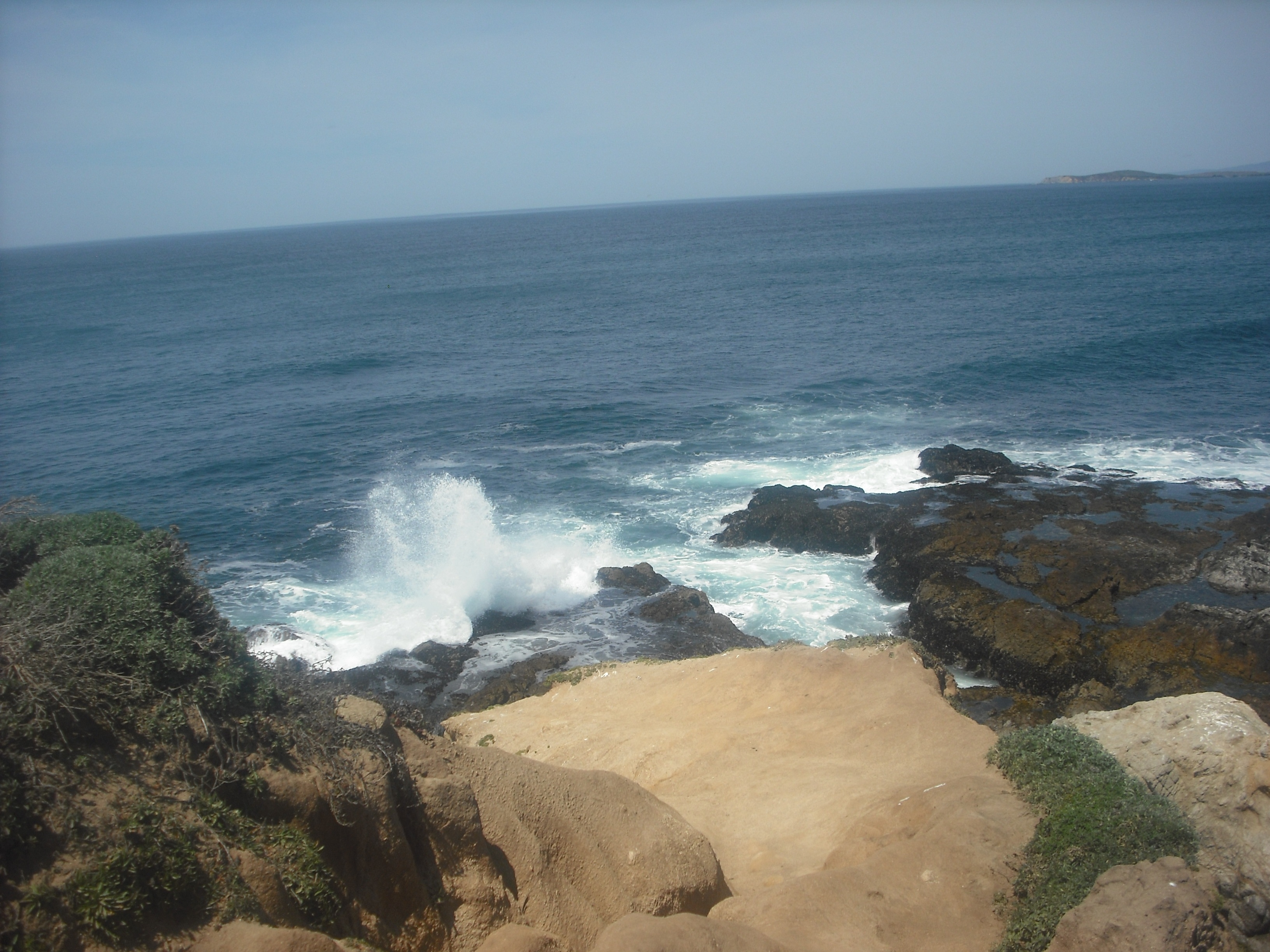
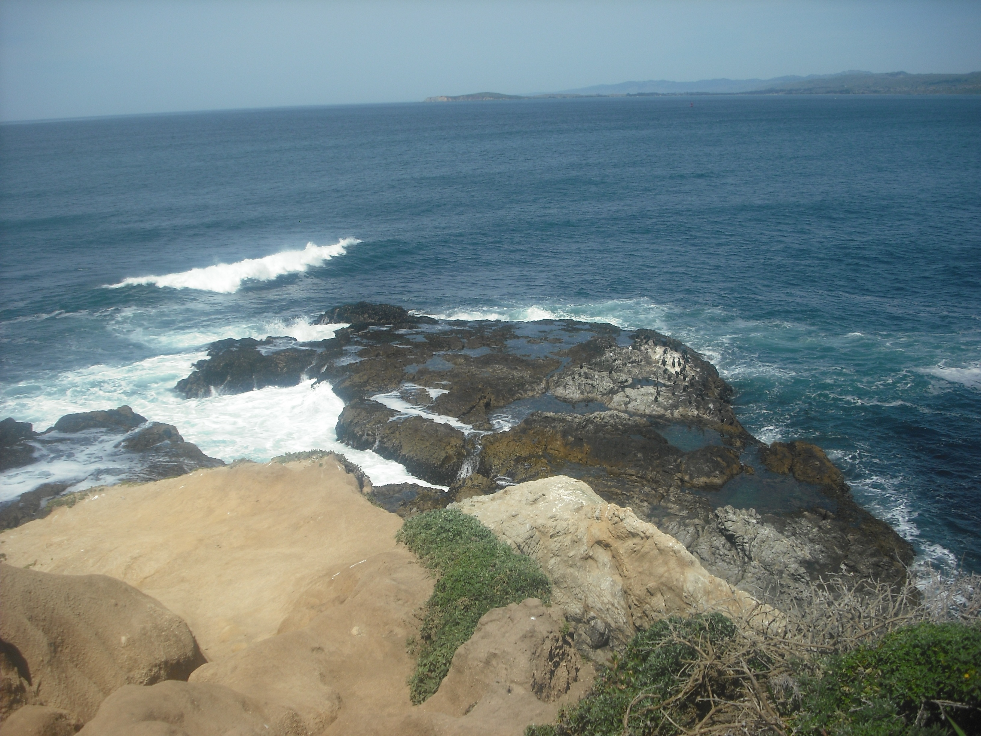
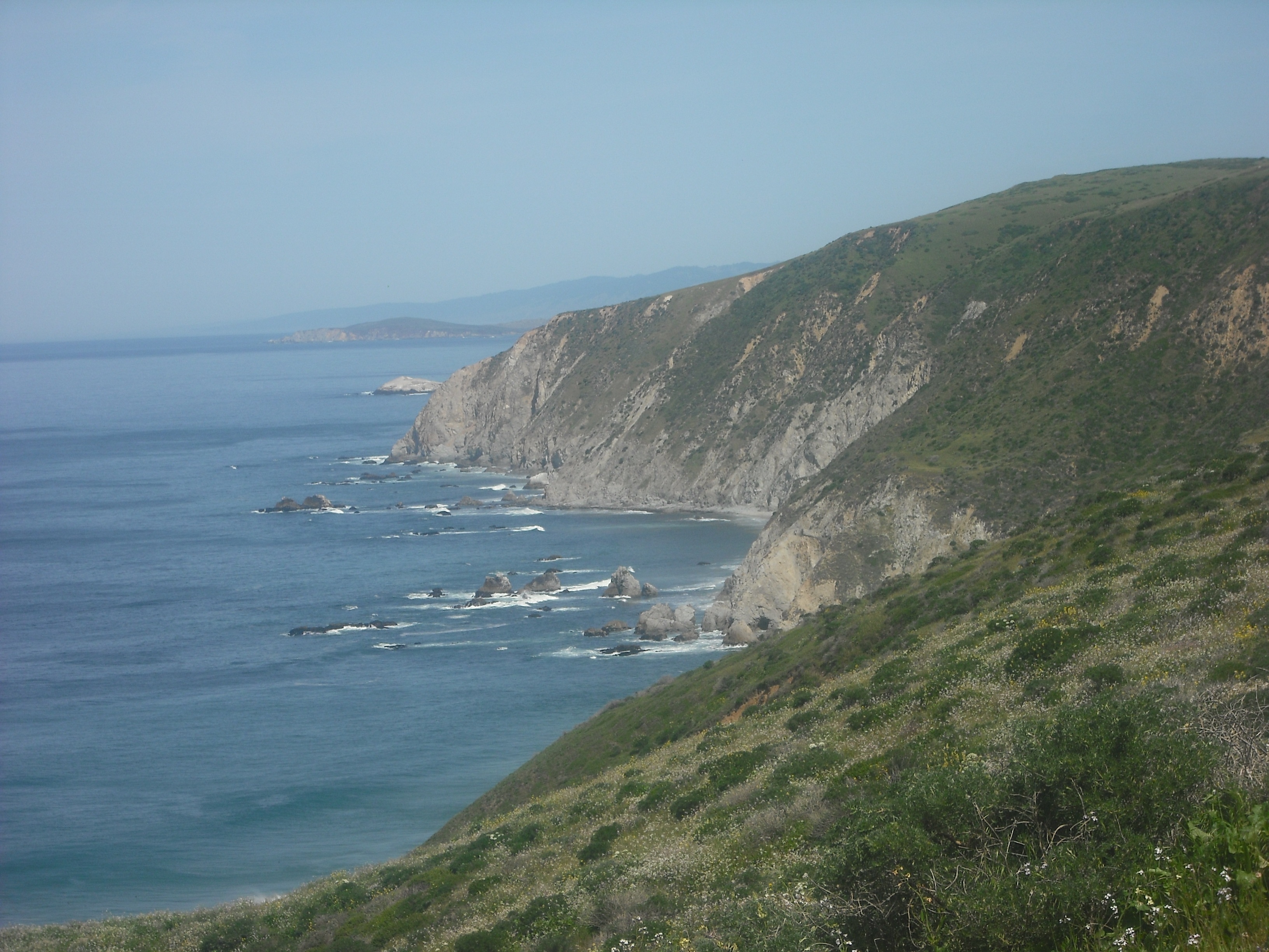
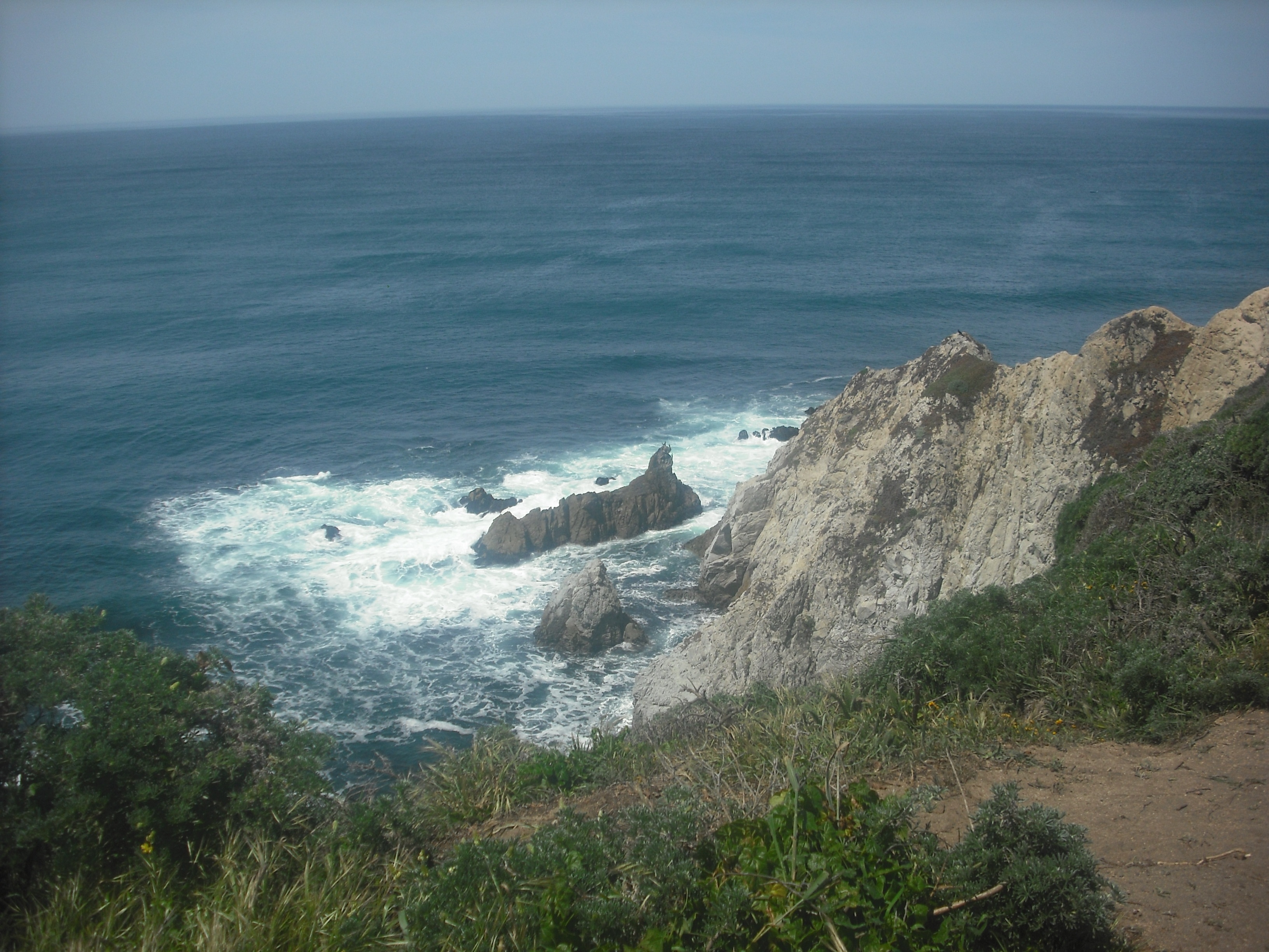
The most spectacular view is at Tomales Point itself, but you get a few good cliffside vistas on the bay side, like these:

There are also some elk on the trail, especially in the Windy Gap area near the bottom of the long downhill section:
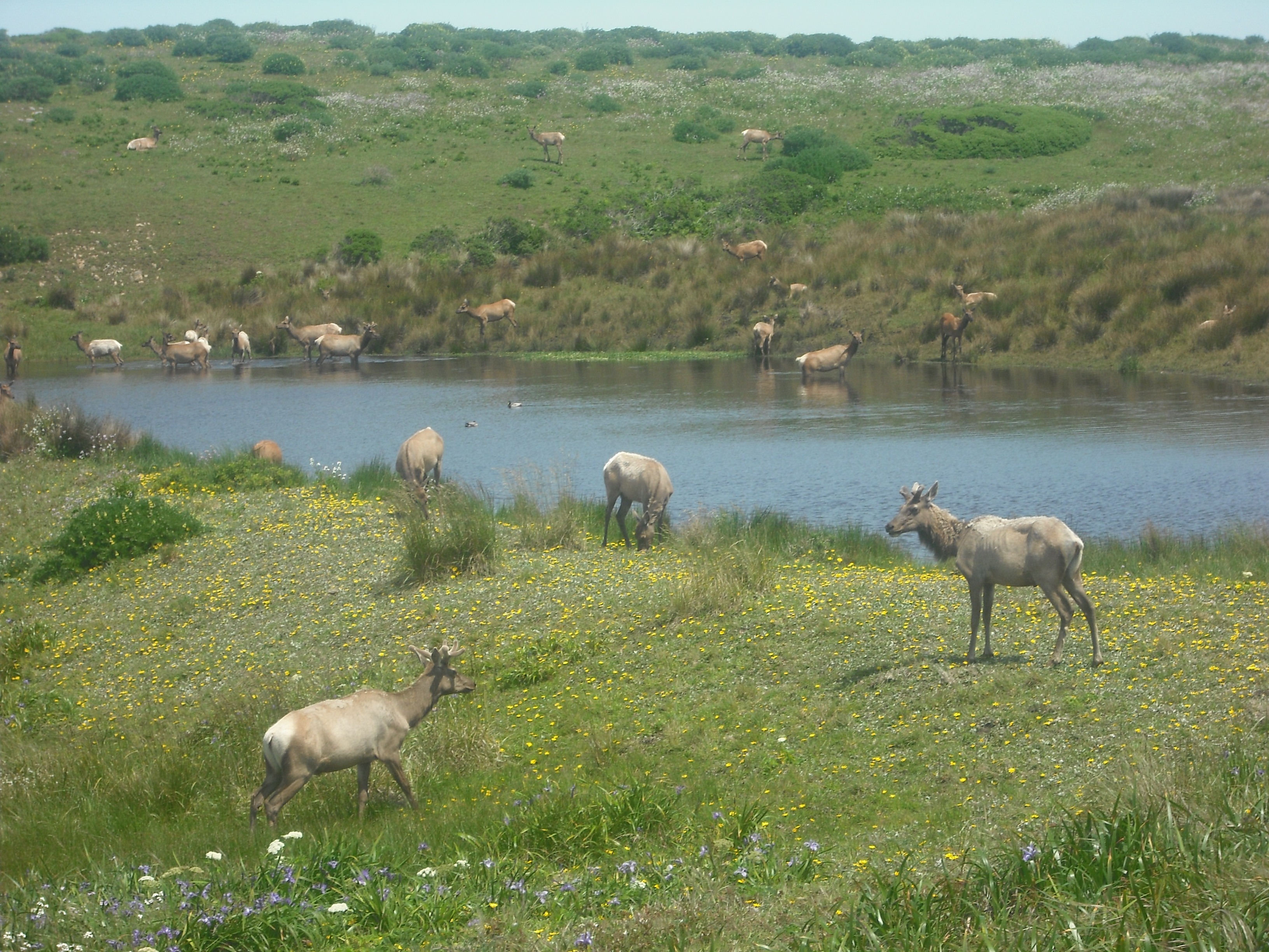
I saw a deer hopping around not too far from here too, though not one as amiable about remaining stationary for the benefit of cameras.
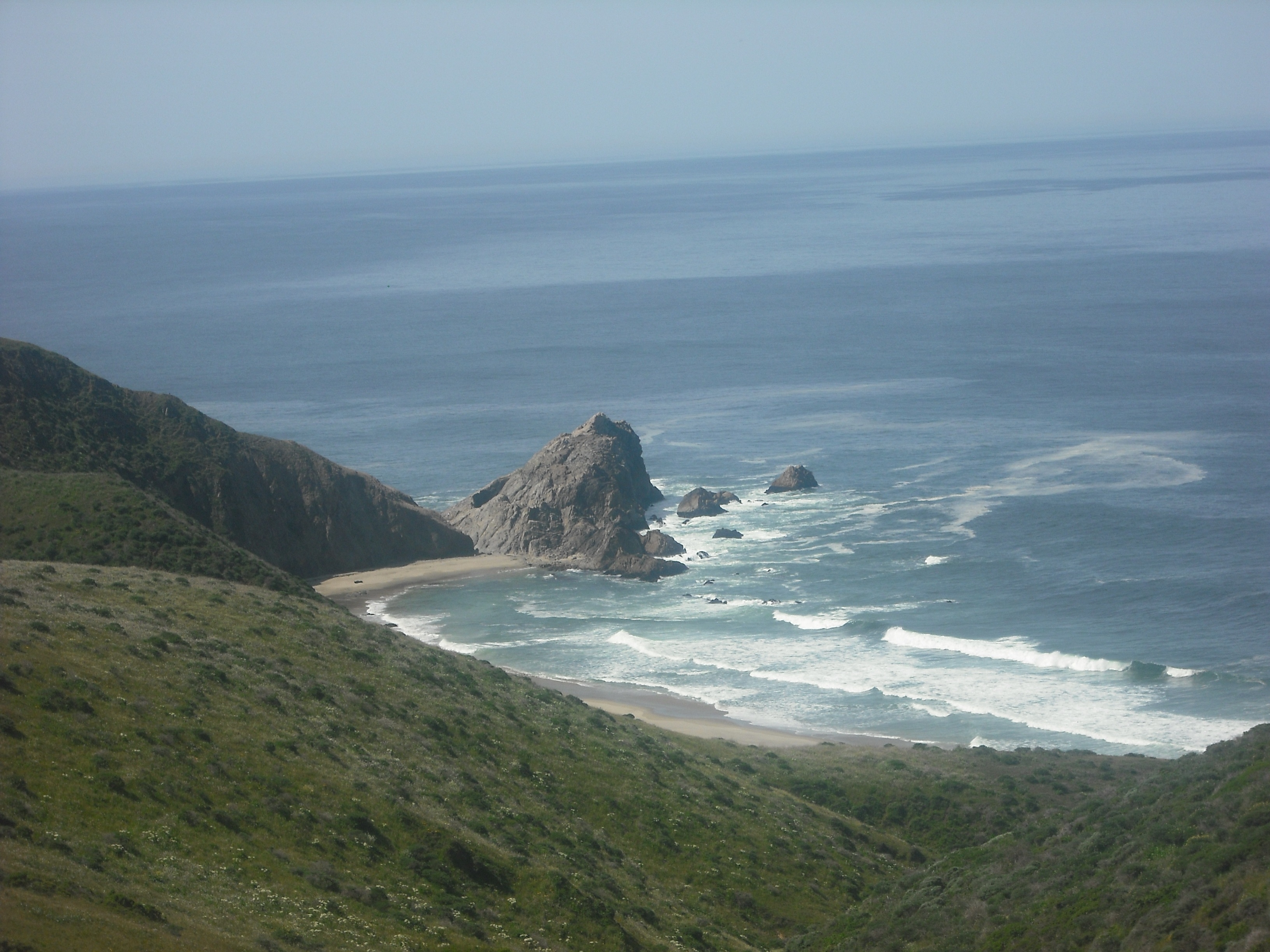
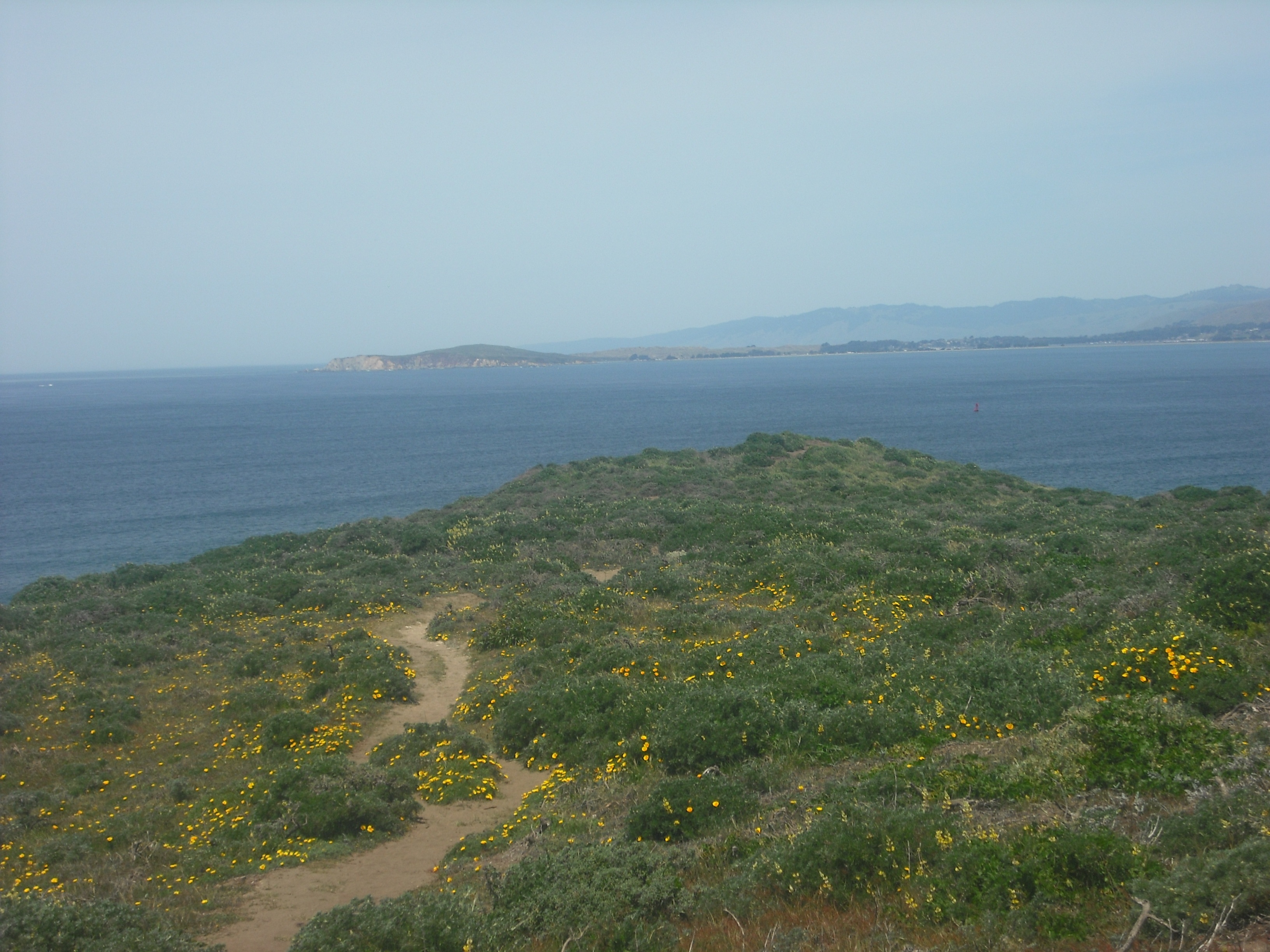
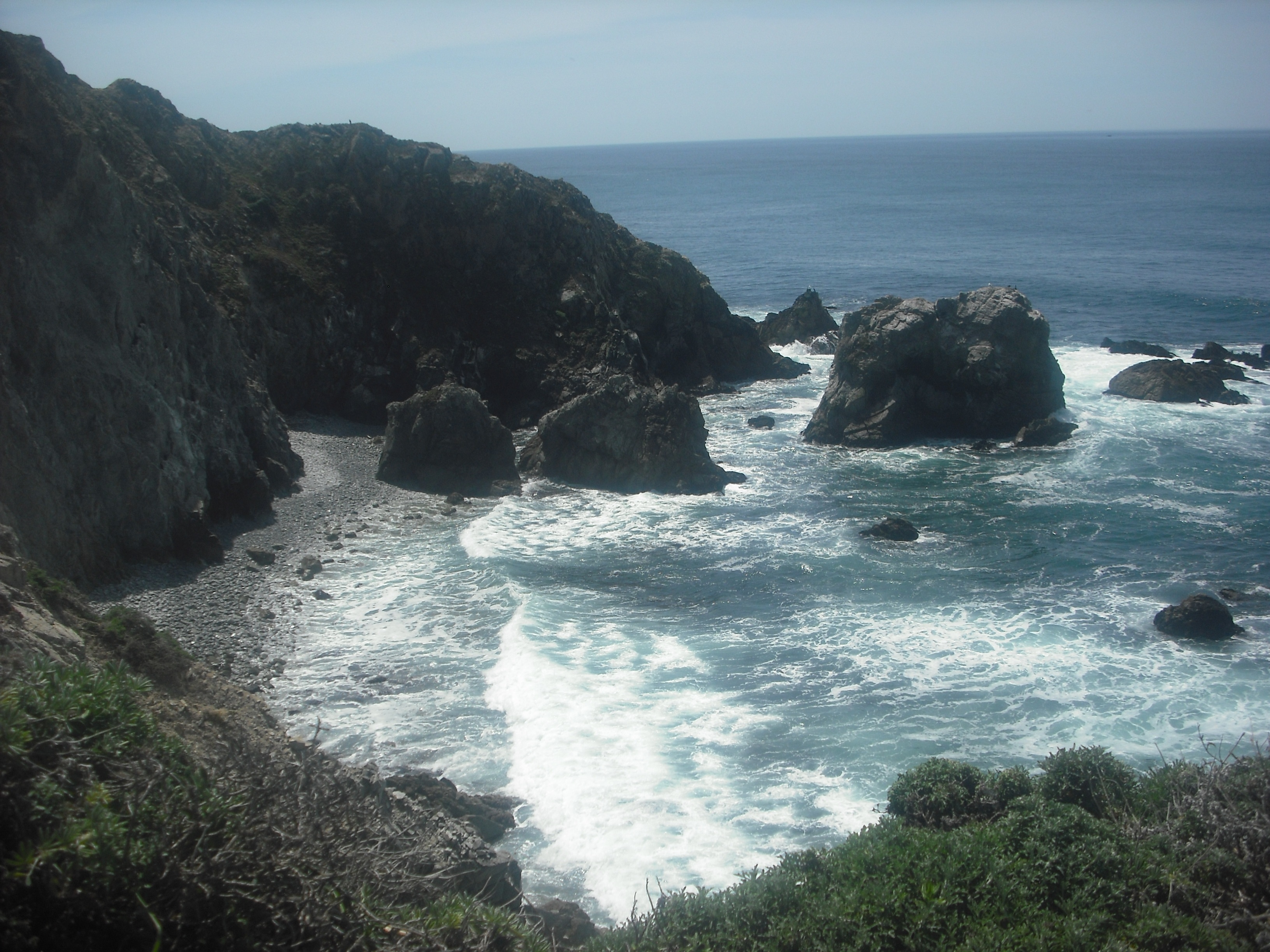
When you get near the end of the “out” part of this out-and-back trail, you might be wondering if it’s worth it to go all the way “out,” especially as you get this view when you first spot the final segment:
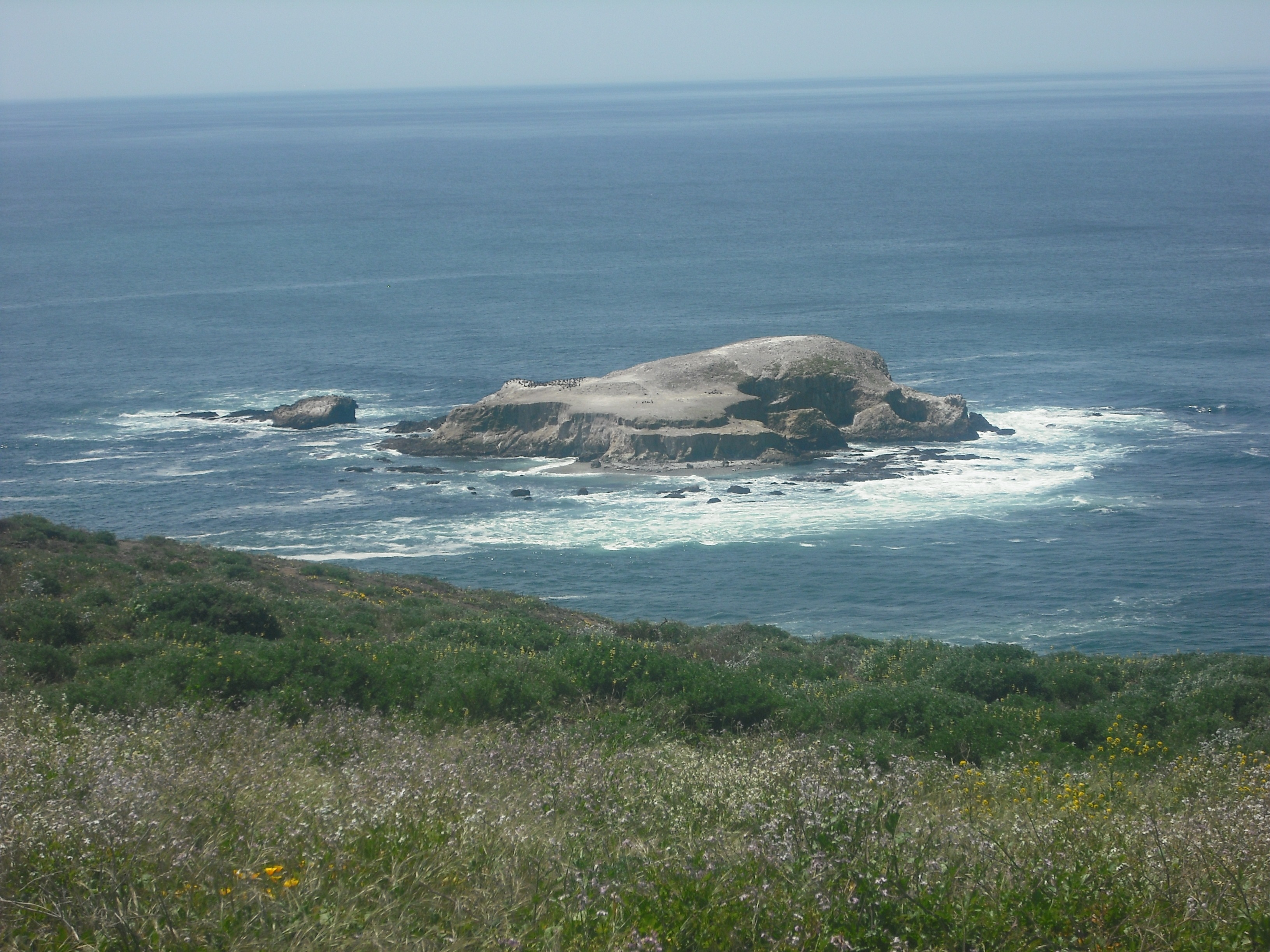
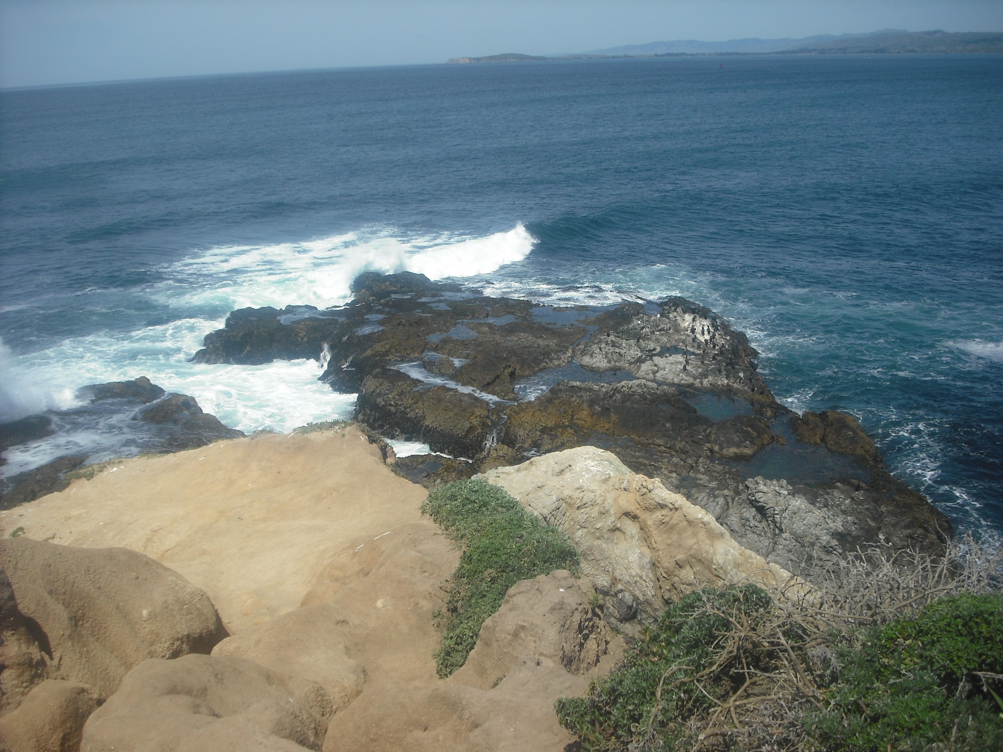
But persevere, and clamor down the last part, because you don’t want to miss these views at Tomales Point itself:
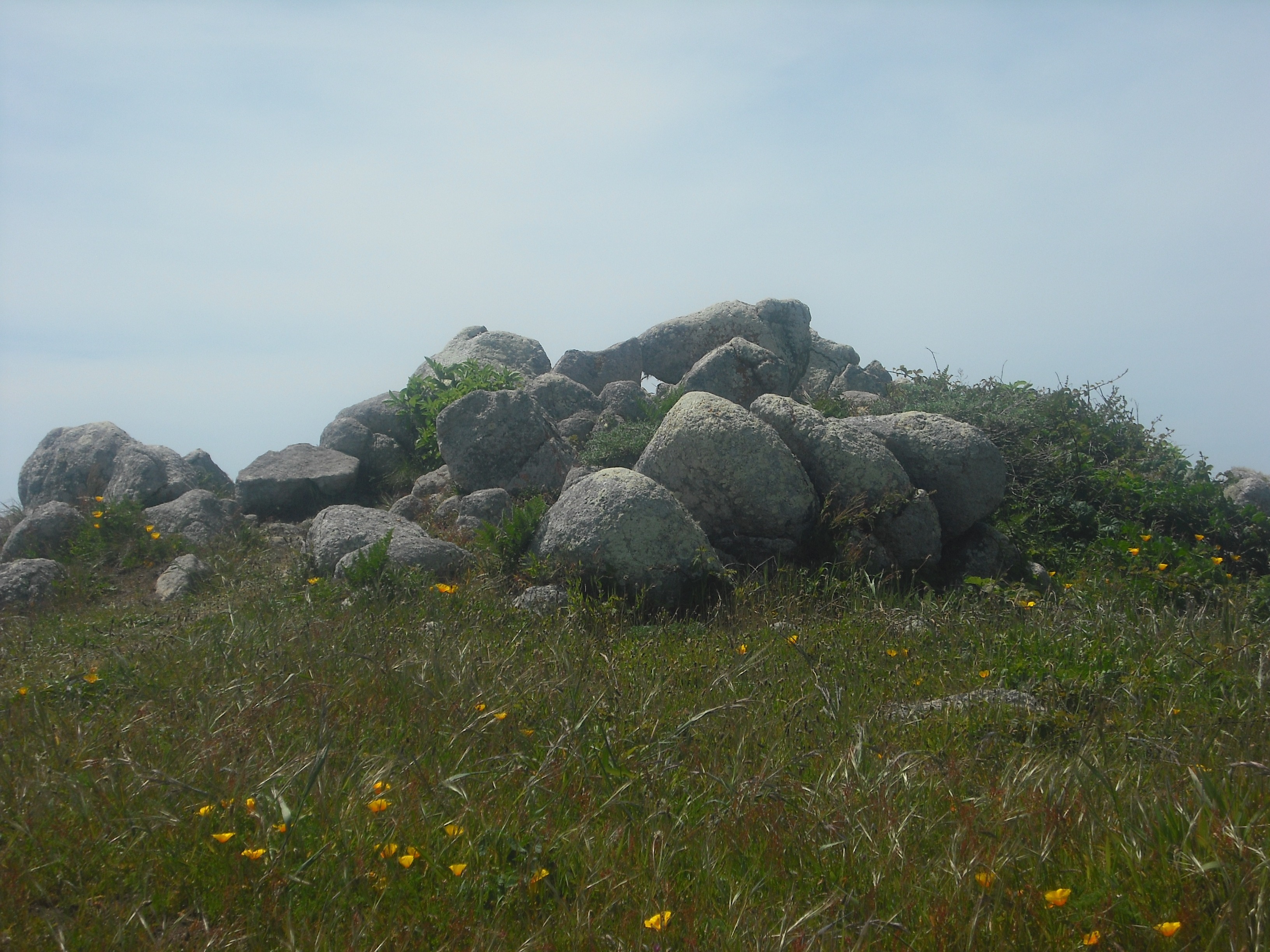
After you manage the long, long haul up the trail around the halfway point on the return journey, take in the rock formations as the path levels out:
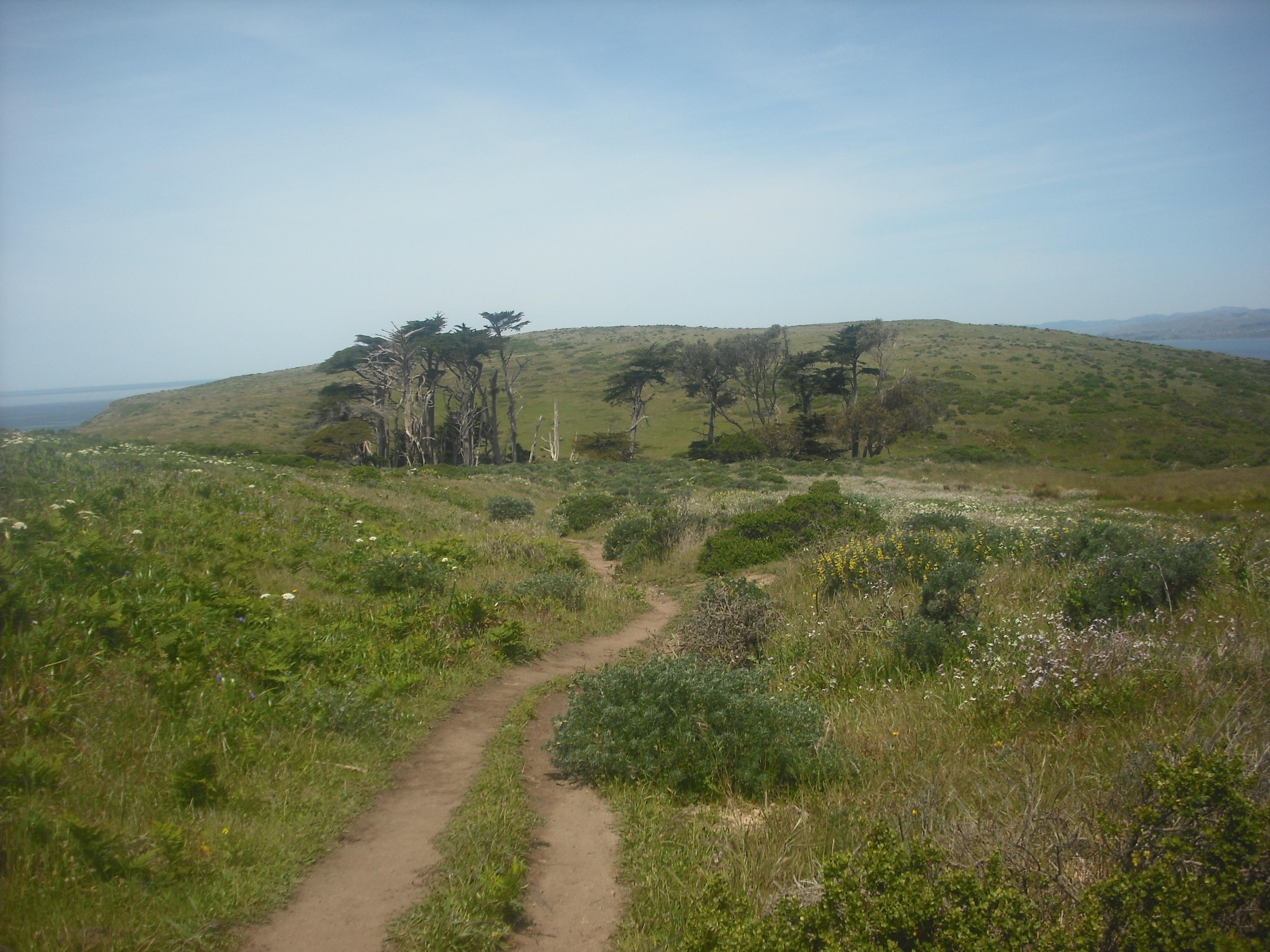
There’s not a whole lot in the way of trees, but there are patches here and there:
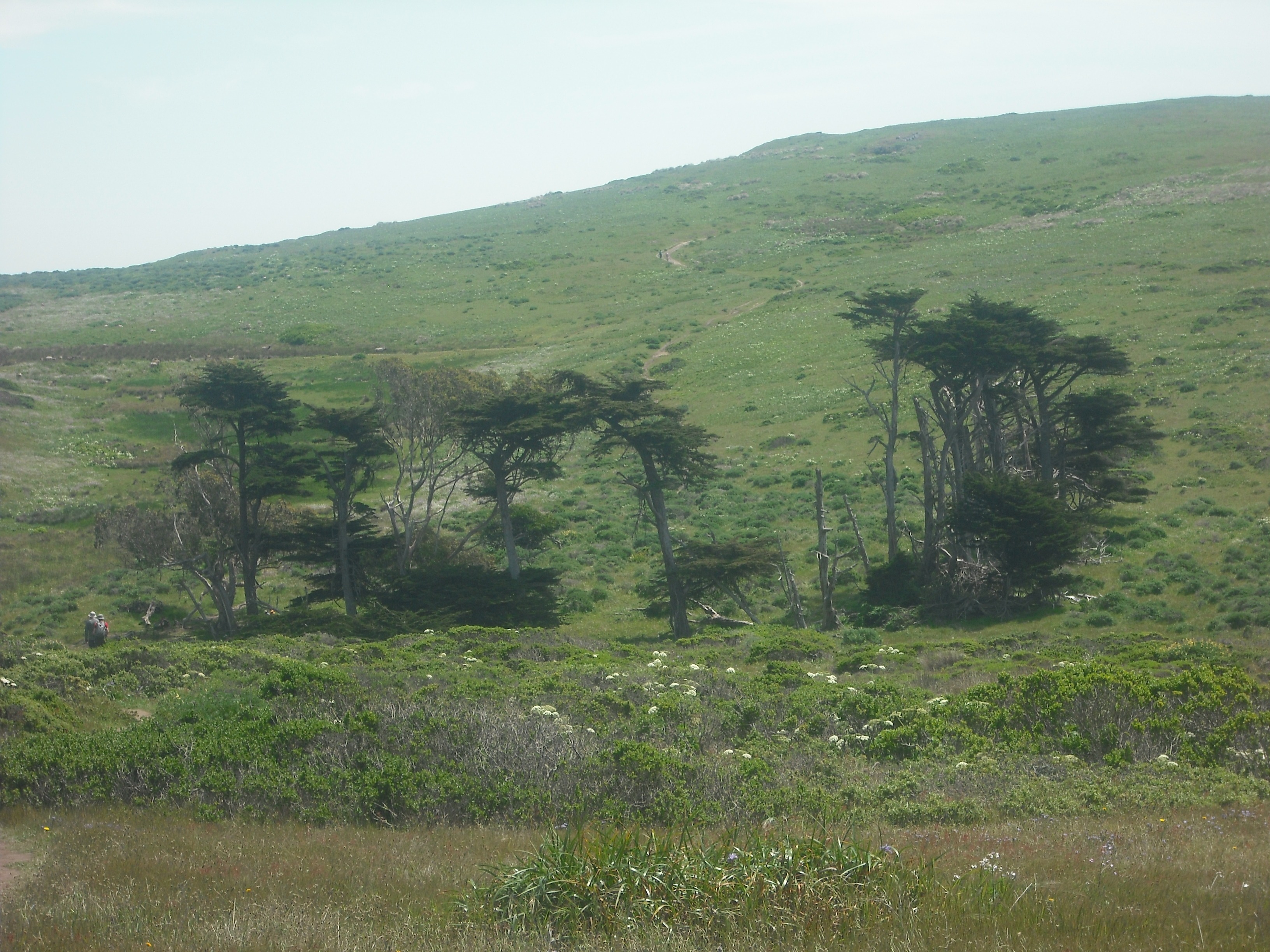
The uphill part of the trail on the way back is behind the trees, and you can see how far it stretches.
Tomales Point Trail is isolated enough that you’re not going to run into too many other hikers (or horse riders, which are allowed), especially on a weekday. Usually the trail looks like this:
Over the course of the three hours and 45 minutes so (including camera/water/snack breaks) it took for my out-and-back, I couldn’t have seen more than 20 or 30 people. Go on a weekday if possible, since it’s likely far more crowded (and there will be far more traffic on the two-lane roads leading to the trailhead) on weekends. The parking lot at the trailhead has about 25 spaces, and was half-full when I arrived around 10:45am; it was completely full when I left four hours later.
There’s more information on the Tomales Point Trail page of the Bay Area Hiker site.