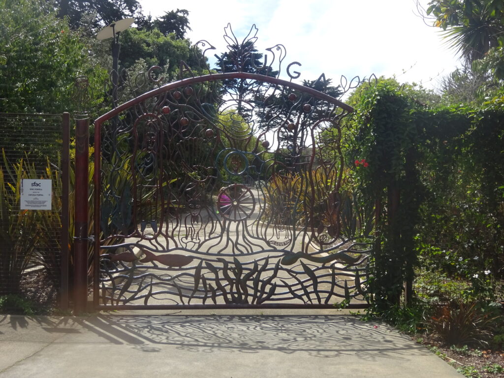
Even if you’ve lived in the San Francisco Bay Area for about thirty years, there are still some cool corners of the city you probably haven’t seen. I never knew about, let alone visited, Cayuga Park until last month. I might never have found out if a couple friends weren’t living in the area. It’s only a mile or two south of one of the Mission, one of San Francisco’s hippest neighborhoods. But much of south San Francisco’s seldom visited even by many longtime residents.
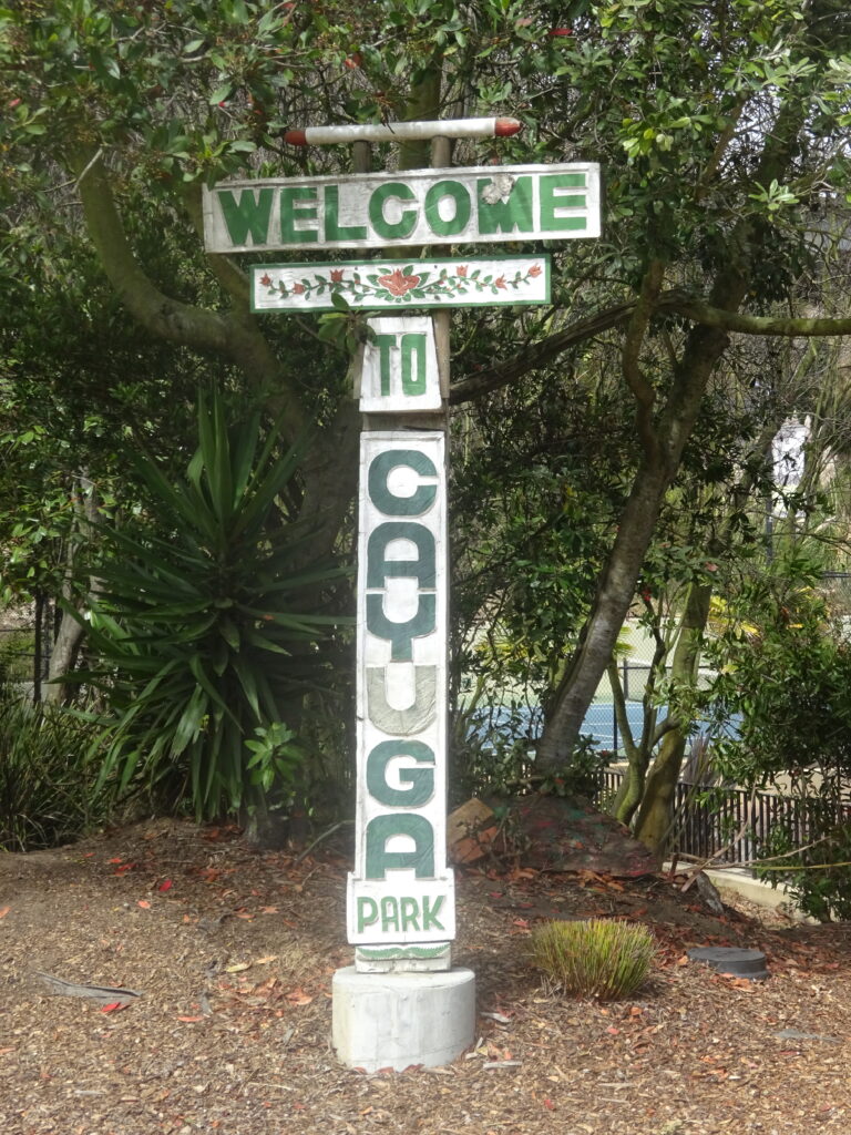
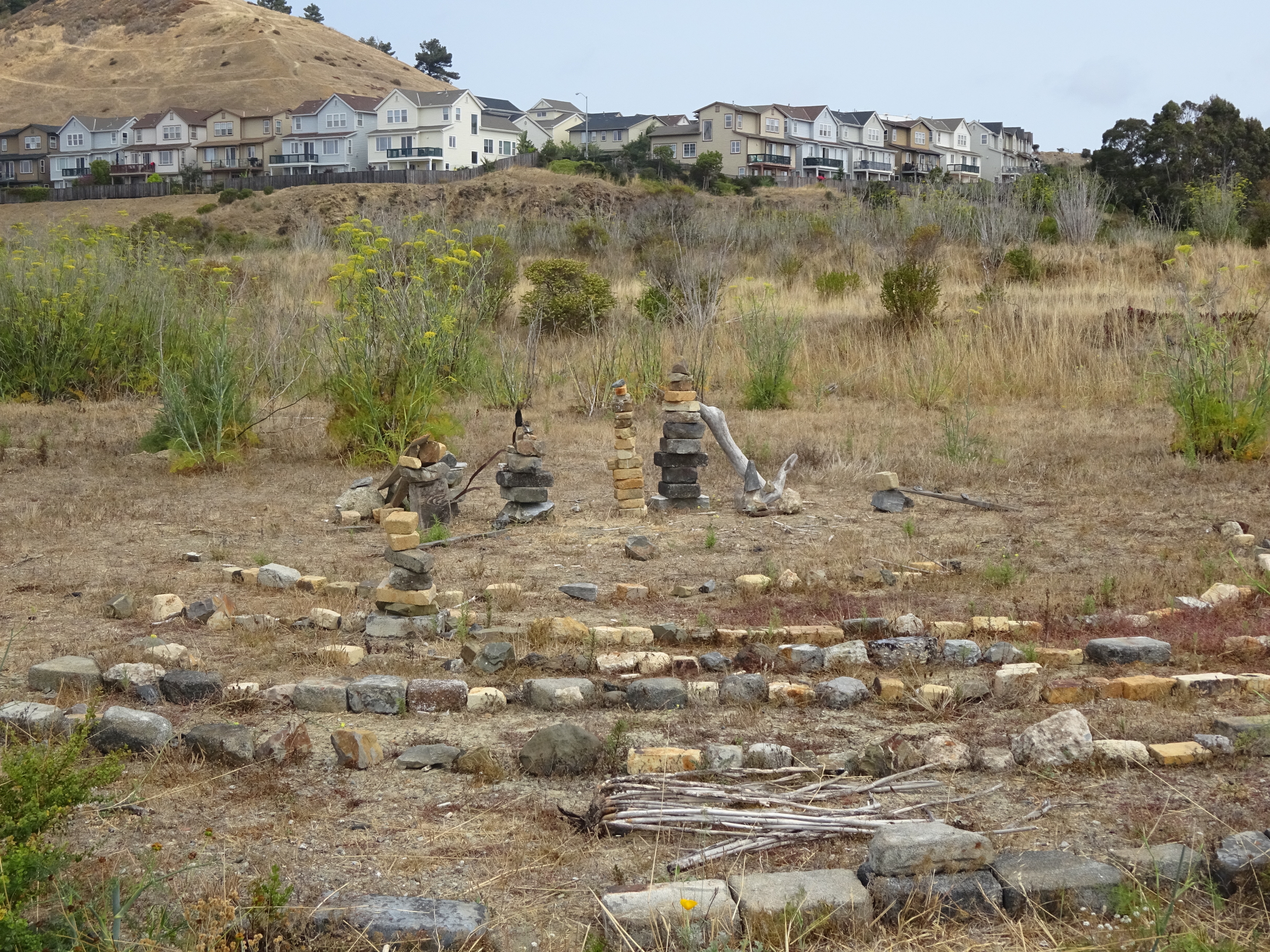
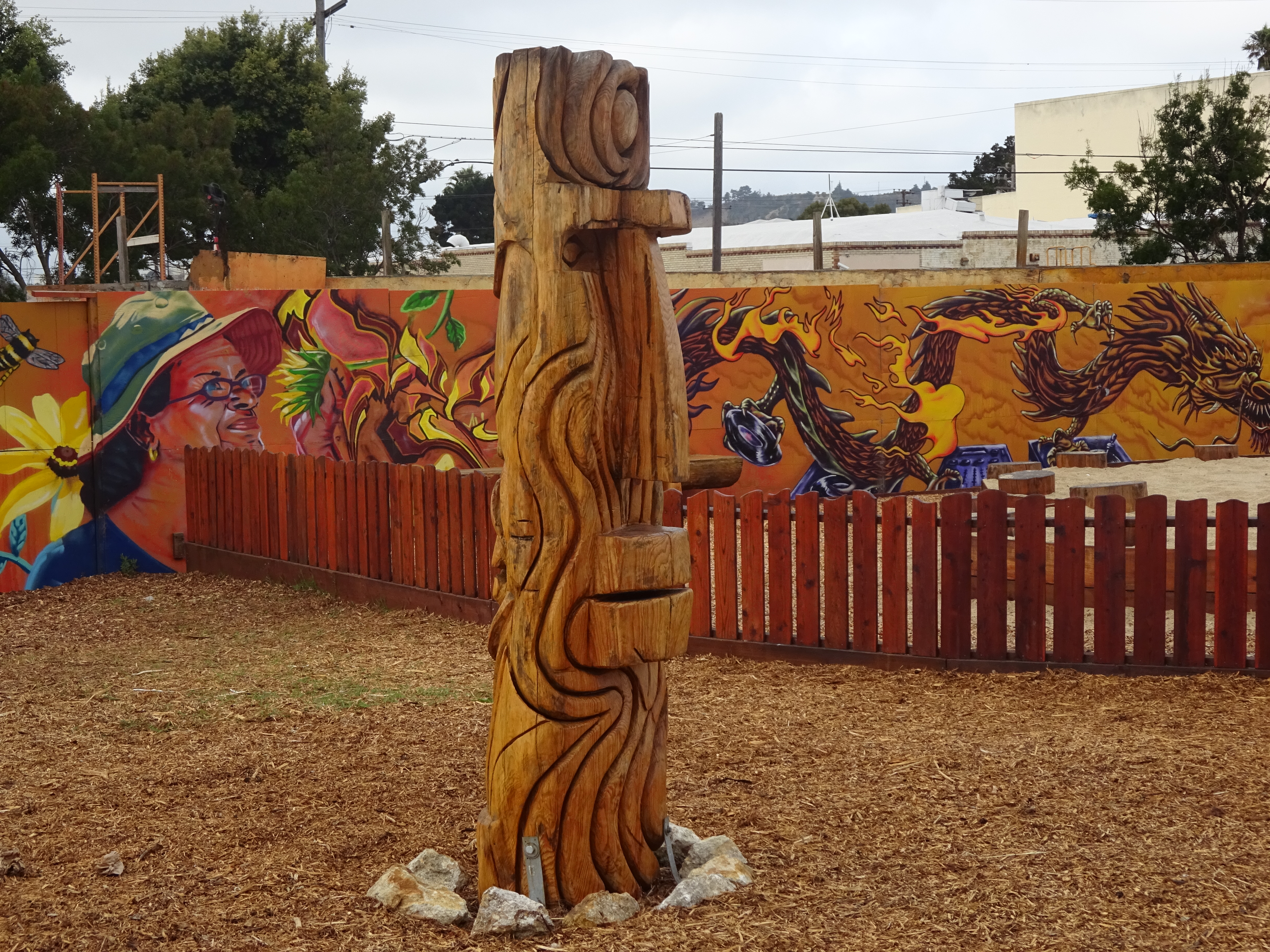
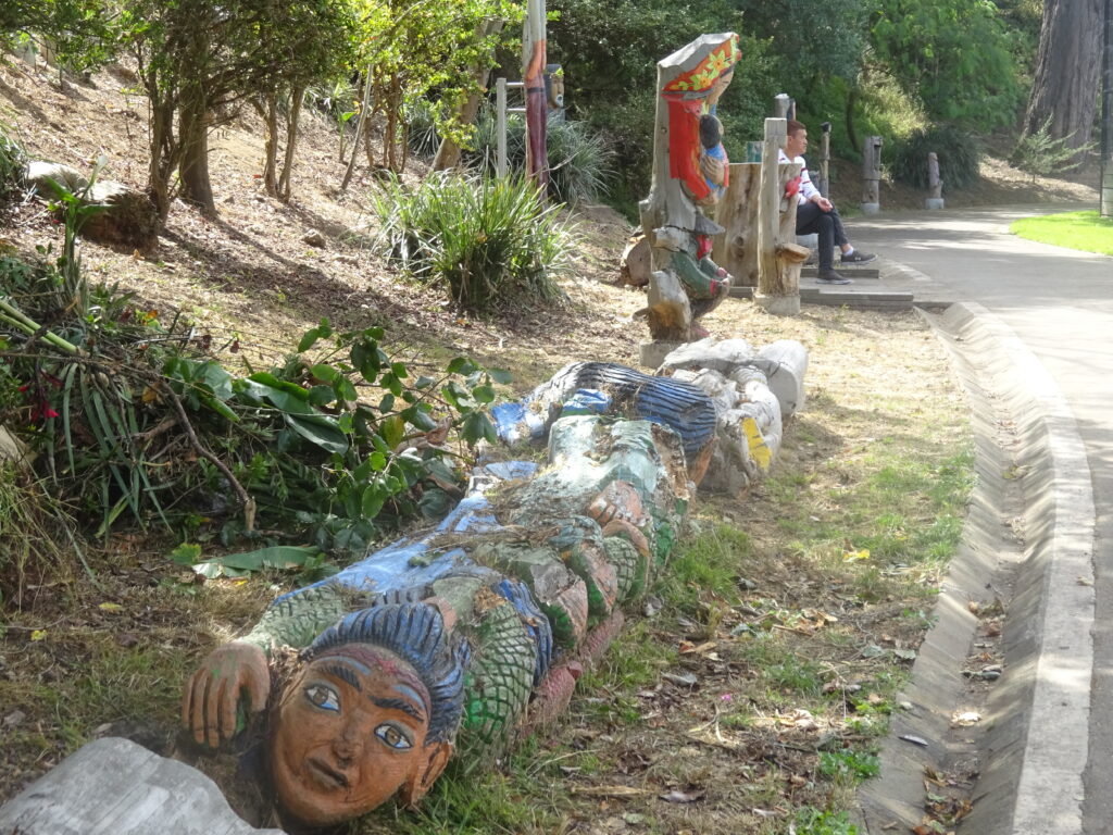
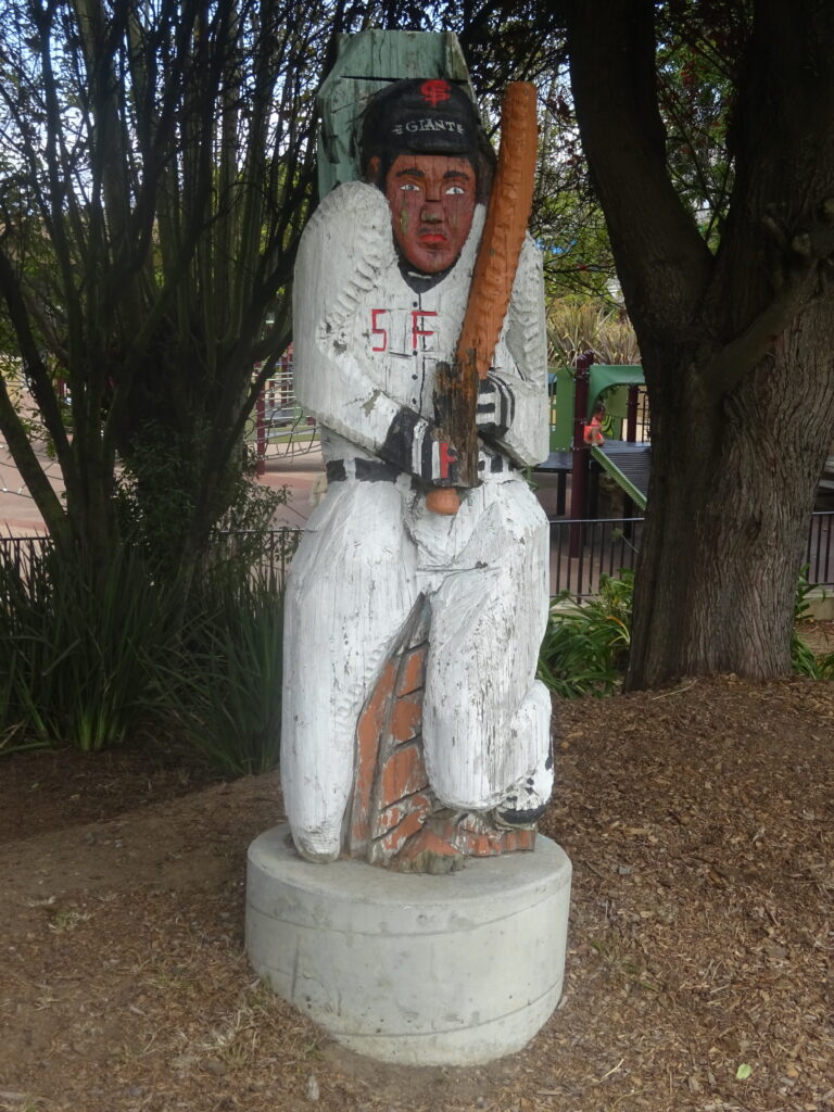
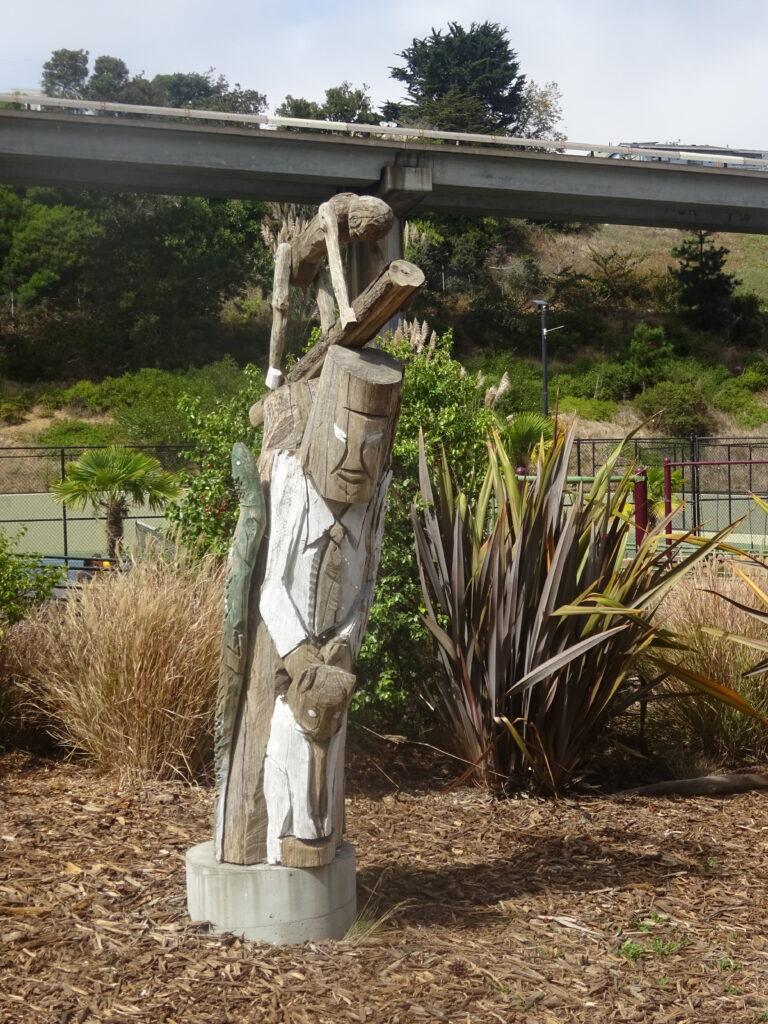
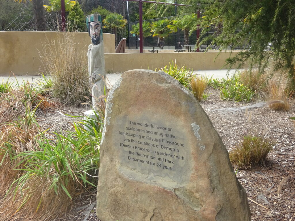
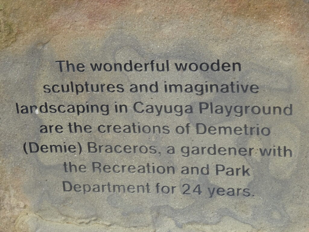
Its small size, taking up only a square block or two, and out-of-the-wayness means it will never be a tourist attraction. Yet it’s well worth a look for a few dozen or so sculptures by Demetrio Braceros, who was the park’s gardener for almost a quarter century.
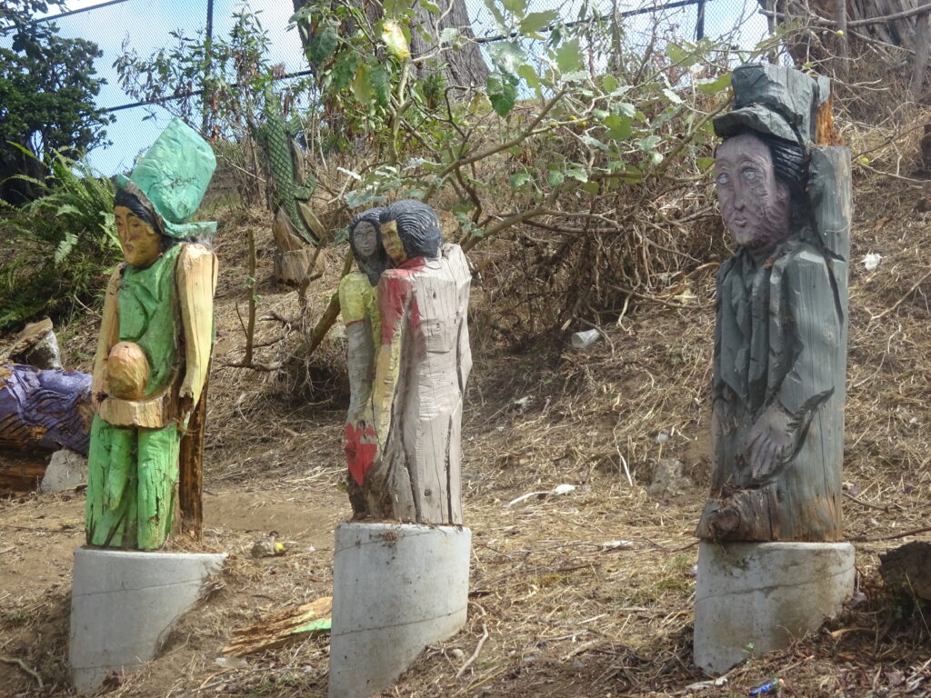
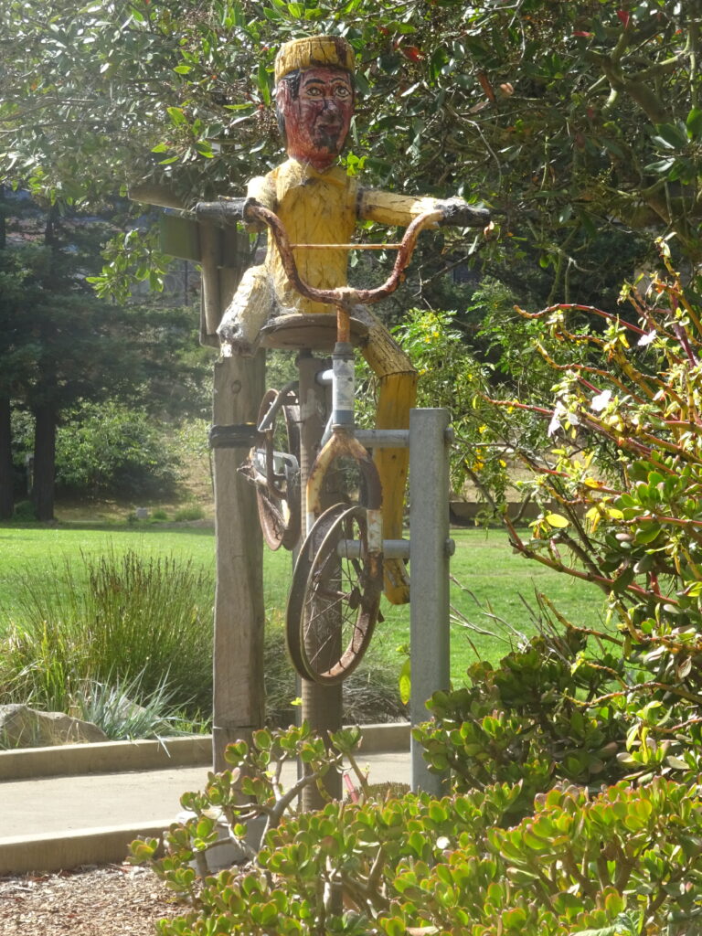
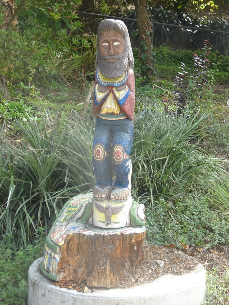
It only takes fifteen or so minutes to take in all of them, though of course there’s no reason not to linger longer if you’re not in a hurry. There are plenty of others besides the ones I photographed for this post, but here are some favorites:
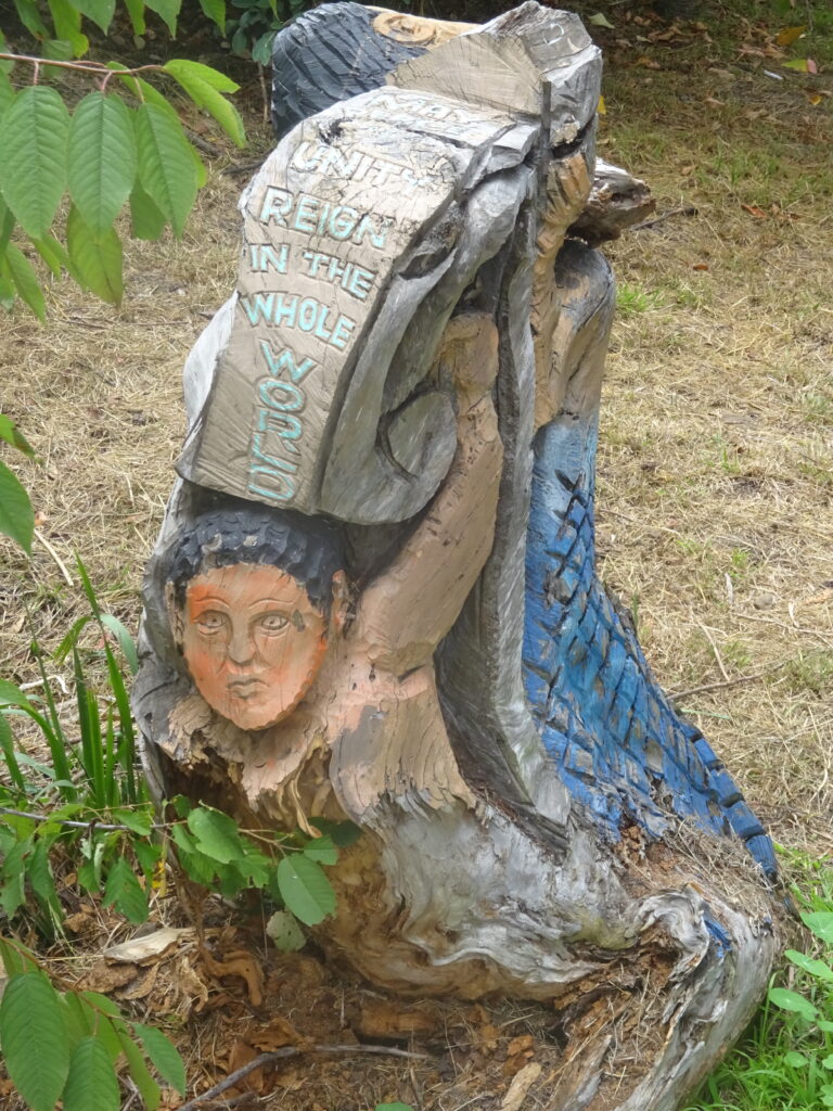
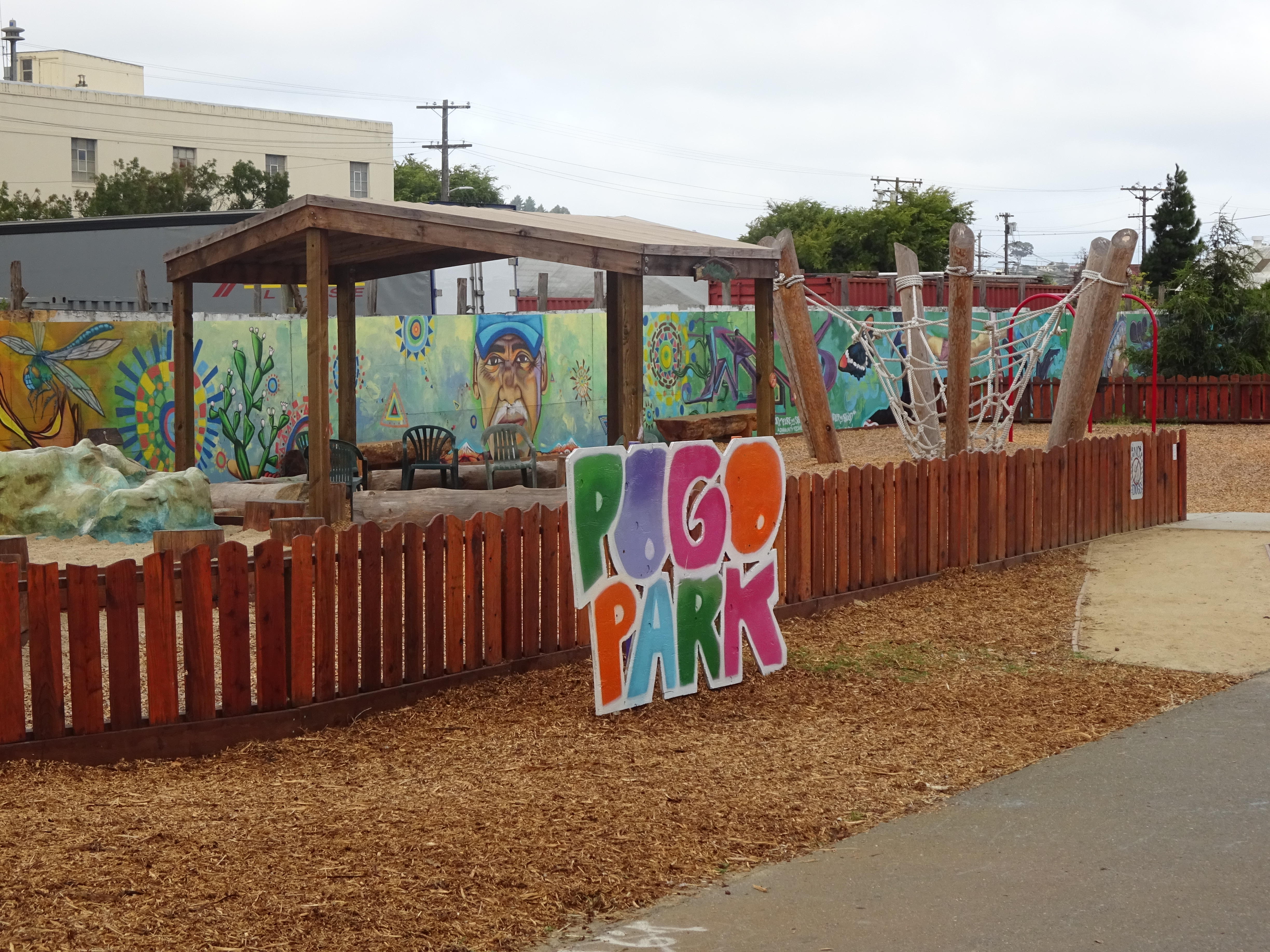
The basic background on Braceros is on a page for him on the Spaces site. In brief, he came to San Francisco from his native Philippines in 1973, and in 1986 was made gardener of the park, with a directive to “change the atmosphere.” I didn’t see the park in those days, but that he did, as apparently it was barren and trash-strewn. I’ve only been here a couple times and only this year, but now it’s clean, safe, and family-friendly, certainly during the daytime.
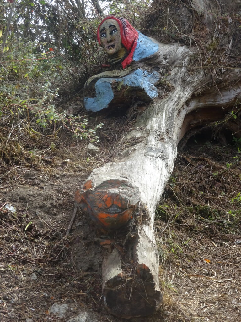
When the park was renovated almost ten years ago, about one-third of the sculptures (judged in “fair condition”) were moved to storage, and the one-third in good condition given new protective coatings. The ones in poor condition, according to the Spaces site, “were left where they were to be viewed by visitors, and to slowly decompose in their natural habitat.” So what you see now won’t be there forever.
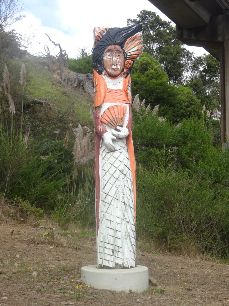
For the time being, the sculptures are not only integral to the park, but also soften the harsh reminders of industrial civilization. A major highway, and train tracks from the Bay Area’s BART transportation system, are just above the park to the west. That means it’s never too quiet, and sometimes downright noisy when the trains rush overhead.
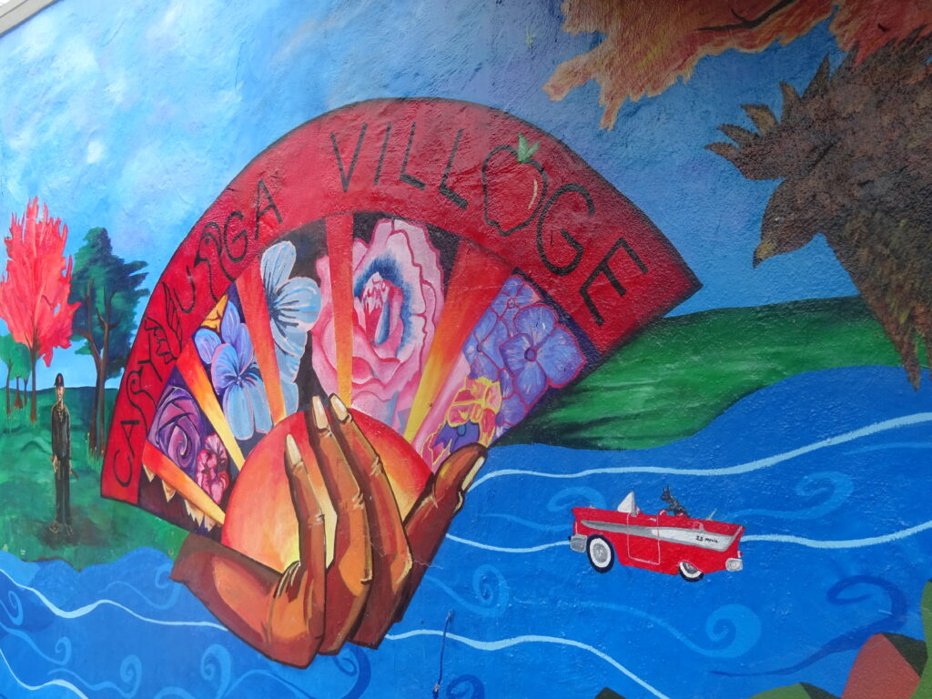
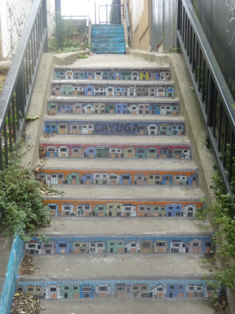
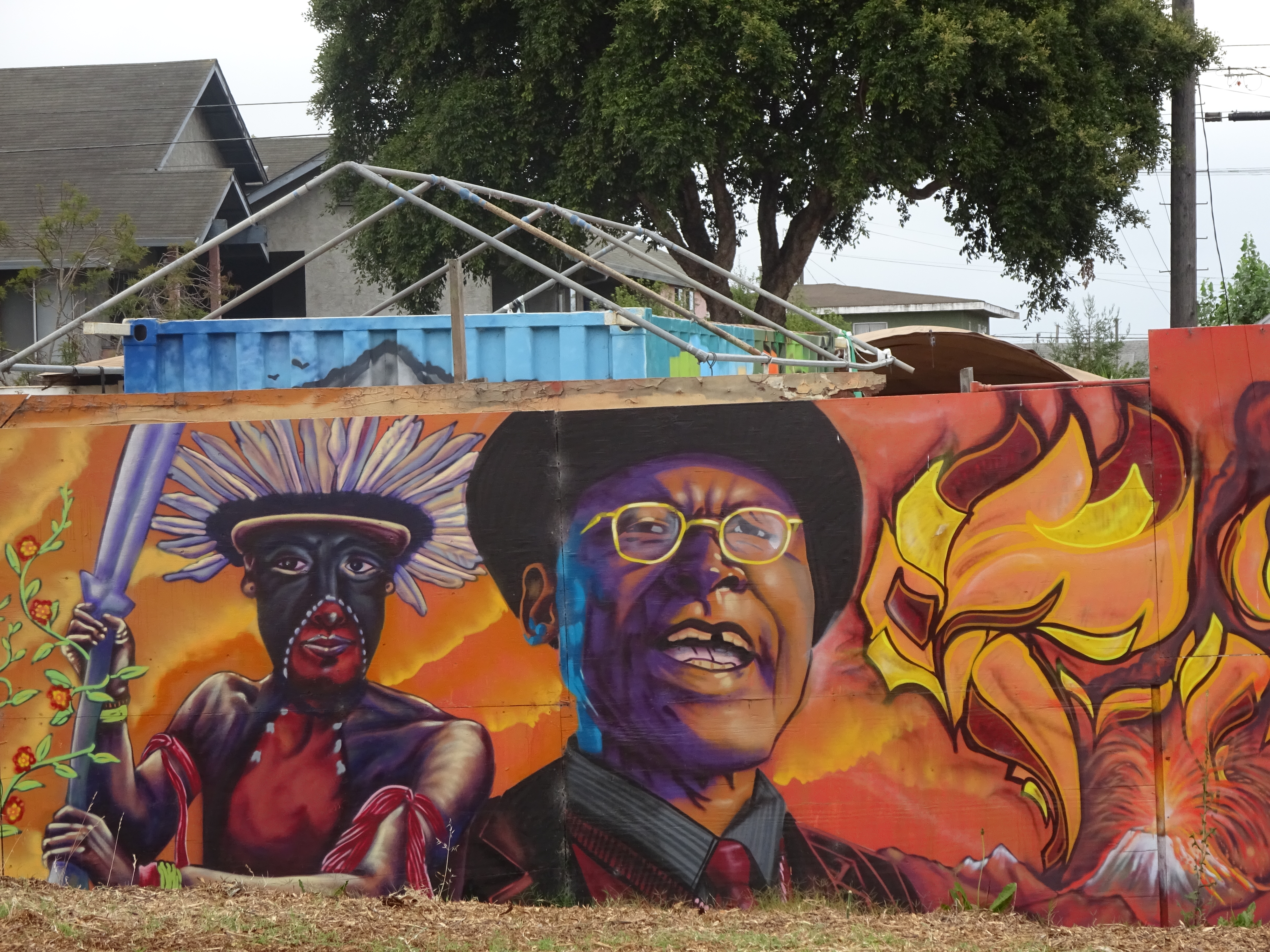
On the way out, also check the murals just past the steps on the right when you get on Cayuga Avenue. Another reminder that proud idiosyncratic neighborhood spirit is all over San Francisco, not just in the many famous parks and areas known to residents and visitors alike.